
1964 Map of Black Cabin Gulch
USGS Topo · Published 1968About this map
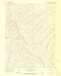
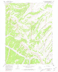
The Cathedral Bluffs dominate this Colorado landscape, characterized by deeply incised gulches and high ridges in the mid-1960s. The settlement of Dillon provides a central reference point in an area otherwise defined by resource exploration and ranching infrastructure. Numerous prospects are scattered across the terrain, particularly near Black Cabin Gulch and Stake Springs Draw, indicating the active geological surveying of the era.
Find a feature on this map
31 named features on this map. Tap any name to fly to it.
Don’t see what you’re looking for? This feature index may not catch every label — zoom into the map to look around manually.
Map Details
Editions of this 1964 Black Cabin Gulch Map
3 editions found
Other maps of this area

1929 · Highmore
USGS Topo · 1:62,500

1952 · Wolf Ridge
USGS Topo · 1:24,000

1952 · Yankee Gulch
USGS Topo · 1:24,000

1956 · Grand Junction
USGS Topo · 1:250,000

1959 · Grand Junction
USGS Topo · 1:250,000

1960 · Grand Junction
USGS Topo · 1:250,000

1962 · Grand Junction
USGS Topo · 1:250,000

1964 · Grand Junction
USGS Topo · 1:250,000

1964 · Brushy Point
USGS Topo · 1:24,000
1964 · Philadelphia Creek
USGS Topo · 1:24,000