
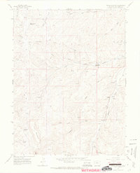
1964 Map of Brushy Point
USGS Topo · Published 1968About this map
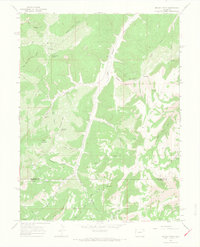
Brushy Point and Ponderosa Point dominate the high-elevation landscape of this northwestern Colorado survey, where the drainages of East Douglas Creek and Carr Creek create a complex system of canyons and draws. The geography is defined by significant landmarks such as Scare Mountain and the prominent Pike Ridge along the southern boundary. At this time in the mid-1960s, the area's few human-made features include the Trail Canyon Lodge Trail and a network of jeep trails, suggesting a landscape primarily used for seasonal grazing, hunting, or early energy exploration.
Find a feature on this map
33 named features on this map. Tap any name to fly to it.
Don’t see what you’re looking for? This feature index may not catch every label — zoom into the map to look around manually.
Map Details
Editions of this 1964 Brushy Point Map
4 editions found
Other maps of this area

1956 · Grand Junction
USGS Topo · 1:250,000

1959 · Grand Junction
USGS Topo · 1:250,000

1960 · Grand Junction
USGS Topo · 1:250,000

1962 · Grand Junction
USGS Topo · 1:250,000

1964 · Grand Junction
USGS Topo · 1:250,000

1964 · Douglas Pass
USGS Topo · 1:24,000

1964 · Henderson Ridge
USGS Topo · 1:24,000

1964 · Black Cabin Gulch
USGS Topo · 1:24,000
1964 · White Coyote Draw
USGS Topo · 1:24,000
1964 · Texas Mountain
USGS Topo · 1:24,000