
1964 Map of Henderson Ridge
USGS Topo · Published 1968About this map
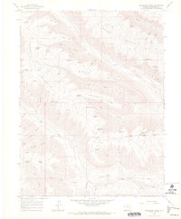
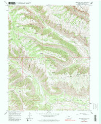
Altenbern Ranch sits at the heart of this high-elevation landscape, where a sophisticated network of springs and canyons supported ranching in the 1960s. The map illustrates a complex topography dominated by parallel heights like Henderson Ridge, Horse Ridge, and Brush Mountain. Water management is evident through the naming of dozens of specific water sources, from Sheep Corral Spring and First Water Spring to the clustered Second Water Spring, Third Water Spring, and Fourth Water Spring in the eastern gulches. Access to these steep drainages is marked by traditional routes such as the Ute Trail (Pack) and various unnamed pack trails. The presence of Gasaway Bench and Cedar Bench above Roan Creek indicates the distinctive stepped terrain of this part of Garfield County, while isolated prospects suggest early mineral exploration in the deeper canyons.
Find a feature on this map
51 named features on this map. Tap any name to fly to it.
Don’t see what you’re looking for? This feature index may not catch every label — zoom into the map to look around manually.
Map Details
Editions of this 1964 Henderson Ridge Map
3 editions found
Other maps of this area

1929 · Highmore
USGS Topo · 1:62,500

1929 · Roan Creek
USGS Topo · 1:62,500

1956 · Grand Junction
USGS Topo · 1:250,000

1959 · Grand Junction
USGS Topo · 1:250,000

1960 · Grand Junction
USGS Topo · 1:250,000

1962 · Grand Junction
USGS Topo · 1:250,000

1964 · Grand Junction
USGS Topo · 1:250,000

1964 · Brushy Point
USGS Topo · 1:24,000

1964 · Calf Canyon
USGS Topo · 1:24,000
1964 · Razorback Ridge
USGS Topo · 1:24,000