
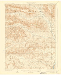
1929 Map of Roan Creek
USGS Topo · Published 1929About this map
Book Plateau and the surrounding high ridges define this landscape as it appeared during the late 1920s, a period when the oil shale industry was beginning to mark the Colorado wilderness. The presence of the Index Shale Plant near Clear Cr highlights the early industrial attempts to tap the region's energy resources. Below the massive Roan Cliffs, the settlement pattern follows the drainages, where isolated outposts like the Wilcoxson Ranch and Goslin Ranch provided a living in the canyons.
Find a feature on this map
63 named features on this map. Tap any name to fly to it.
Don’t see what you’re looking for? This feature index may not catch every label — zoom into the map to look around manually.
Map Details
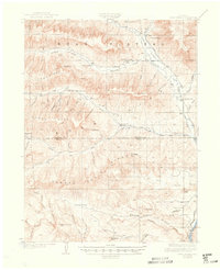
Editions of this 1929 Roan Creek Map
3 editions found
Other maps of this area

1925 · Parachute Creek
USGS Topo · 1:62,500

1927 · Parachute Creek
USGS Topo · 1:62,500

1929 · Grand Valley
USGS Topo · 1:62,500

1929 · Highmore
USGS Topo · 1:62,500

1955 · Cameo
USGS Topo · 1:24,000

1955 · Mesa
USGS Topo · 1:24,000

1956 · Grand Junction
USGS Topo · 1:250,000

1959 · Grand Junction
USGS Topo · 1:250,000

1960 · Grand Junction
USGS Topo · 1:250,000

1962 · Grand Junction
USGS Topo · 1:250,000