
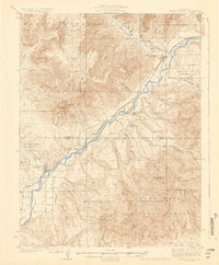
1929 Map of Grand Valley
USGS Topo · Published 1929About this map
The Colorado River corridor defines this 1920s landscape, serving as the primary artery for transport and development between Grand Valley and De Beque. This era marks a significant focus on resource extraction, evidenced by the large Naval Oil Shale Reserve and industrial outposts like American Shale Camp and Shale Camp. The Denver and Rio Grande Western railroad tracks the river's path, providing the critical link for these remote settlements.
Find a feature on this map
58 named features on this map. Tap any name to fly to it.
Don’t see what you’re looking for? This feature index may not catch every label — zoom into the map to look around manually.
Map Details
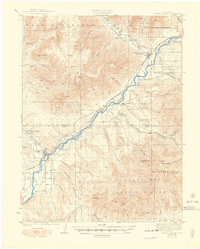
Editions of this 1929 Grand Valley Map
3 editions found
Other maps of this area

1906 · Grand Hogback
USGS Topo · 1:125,000

1910 · Grand Hogback
USGS Topo · 1:125,000

1925 · Parachute Creek
USGS Topo · 1:62,500

1927 · Parachute Creek
USGS Topo · 1:62,500

1929 · Highmore
USGS Topo · 1:62,500

1929 · Roan Creek
USGS Topo · 1:62,500

1952 · Anvil Points
USGS Topo · 1:24,000

1955 · Collbran
USGS Topo · 1:24,000

1955 · Cameo
USGS Topo · 1:24,000

1955 · Mesa
USGS Topo · 1:24,000