
1955 Map of Collbran
USGS Topo · Published 1957About this map
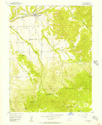
Plateau Valley and the surrounding high-altitude mesas define the settlement patterns of this mid-century livestock and agricultural landscape. The town of Collbran sits at the confluence of several drainages, most notably Buzzard Creek and Kimball Creek, serving as the primary hub for a network of isolated homesteads and mesas. To the west, Plateau City marks another focal point of human activity along the valley floor. Evidence of early community life is visible through the distribution of rural institutions, such as Pleasant View Sch and the Egalite Cem on Kansas Mesa. Higher elevations to the south and east transition into the Grand Mesa National Forest, where the topography becomes increasingly complex around landmarks like Old Man Mountain and Twin Peaks. The presence of the Parker Basin Sch (Aband) suggests the contraction of remote mountain school districts as the mid-1950s approached.
Find a feature on this map
41 named features on this map. Tap any name to fly to it.
Don’t see what you’re looking for? This feature index may not catch every label — zoom into the map to look around manually.
Map Details
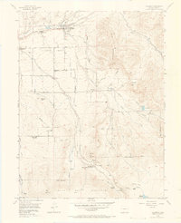
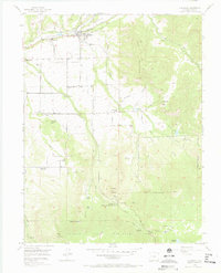
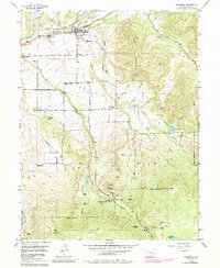
Editions of this 1955 Collbran Map
5 editions found
Other maps of this area

1929 · Grand Valley
USGS Topo · 1:62,500

1955 · Grand Mesa
USGS Topo · 1:24,000

1955 · Molina
USGS Topo · 1:24,000

1955 · Skyway
USGS Topo · 1:24,000

1955 · The Meadows
USGS Topo · 1:24,000

1956 · Grand Junction
USGS Topo · 1:250,000

1957 · Leadville
USGS Topo · 1:250,000

1959 · Grand Junction
USGS Topo · 1:250,000

1959 · Leadville
USGS Topo · 1:250,000

1960 · Leadville
USGS Topo · 1:250,000