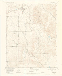
1955 Map of Collbran
USGS Topo · Published 1965About this map
Plateau Valley serves as the primary agricultural corridor for this mid-century Western Slope landscape, anchored by the settlements of Collbran and Plateau City. The 1955 survey data reveals a remote ranching and forest-service economy, where irrigation infrastructure like the Silver Gage Ditch and Gyote Ditch supports the lower elevations while the high timber of the Grand Mesa National Forest dominates the southern reaches. Local educational and social hubs are well-documented, from the Pleasant View Sch to the Bible and Missionary Camp at the foot of Old Man Mountain.
Find a feature on this map
43 named features on this map. Tap any name to fly to it.
Don’t see what you’re looking for? This feature index may not catch every label — zoom into the map to look around manually.
Map Details
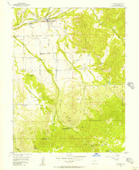
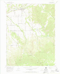
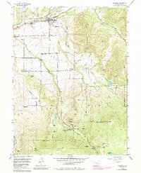
Editions of this 1955 Collbran Map
5 editions found
Other maps of this area

1929 · Grand Valley
USGS Topo · 1:62,500

1955 · Collbran
USGS Topo · 1:24,000

1955 · Grand Mesa
USGS Topo · 1:24,000

1955 · Molina
USGS Topo · 1:24,000

1955 · Skyway
USGS Topo · 1:24,000

1955 · The Meadows
USGS Topo · 1:24,000

1956 · Grand Junction
USGS Topo · 1:250,000

1957 · Leadville
USGS Topo · 1:250,000

1959 · Grand Junction
USGS Topo · 1:250,000

1959 · Leadville
USGS Topo · 1:250,000