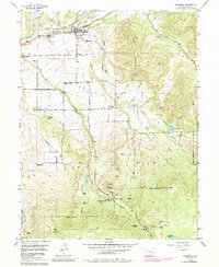
1955 Map of Collbran
USGS Topo · Published 1984About this map
Plateau Valley and the surrounding high country define this portion of Mesa County, centered on the ranching and agricultural hub of Collbran. The landscape is a complex system of irrigated mesas and steep drainage gulches, where human settlement follows the paths of Buzzard Creek and Plateau City. This 1955 survey, with later revisions, shows the intricate network of water management essential to the region, including the Swan Creek and several unnamed canals. Higher elevations transition into the Grand Mesa National Forest, marked by landmarks like Old Man Mountain and Twin Peaks. For those tracing local history, the map identifies rural social centers such as Pleasant View Sch, the Bible and Missionary Camp, and the Parker Basin Sch (Aband), alongside the Cedar Crest Cem and Eagalite Cem, providing a window into the community's mid-century footprint.
Find a feature on this map
41 named features on this map. Tap any name to fly to it.
Don’t see what you’re looking for? This feature index may not catch every label — zoom into the map to look around manually.
Map Details
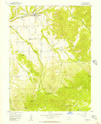
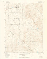
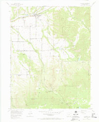
Editions of this 1955 Collbran Map
5 editions found
Other maps of this area

1929 · Grand Valley
USGS Topo · 1:62,500

1955 · Collbran
USGS Topo · 1:24,000

1955 · Grand Mesa
USGS Topo · 1:24,000

1955 · Molina
USGS Topo · 1:24,000

1955 · Skyway
USGS Topo · 1:24,000

1955 · The Meadows
USGS Topo · 1:24,000

1956 · Grand Junction
USGS Topo · 1:250,000

1957 · Leadville
USGS Topo · 1:250,000

1959 · Grand Junction
USGS Topo · 1:250,000

1959 · Leadville
USGS Topo · 1:250,000