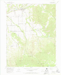
1955 Map of Collbran
USGS Topo · Published 1965About this map
Collbran and Plateau City anchor the northern landscape of this 1955 field-checked survey, situated where the waters of Buzzard Creek and Kimball Creek meet in the fertile Peninsula Valley. The map details a transition from valley ranching to the high timber of the Grand Mesa National Forest, revealing a network of irrigation ditches and gulches that sustained local agriculture. Genealogy researchers will find several rural institutions, including the Pleasant View Sch and the Little Creek Sch, along with the Egalite Cem and Cedar Crest Cem near the town sites.
Find a feature on this map
47 named features on this map. Tap any name to fly to it.
Don’t see what you’re looking for? This feature index may not catch every label — zoom into the map to look around manually.
Map Details
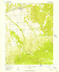
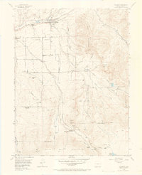
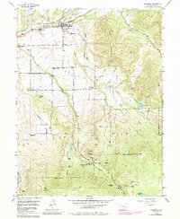
Editions of this 1955 Collbran Map
5 editions found
Other maps of this area

1929 · Grand Valley
USGS Topo · 1:62,500

1955 · Collbran
USGS Topo · 1:24,000

1955 · Grand Mesa
USGS Topo · 1:24,000

1955 · Molina
USGS Topo · 1:24,000

1955 · Skyway
USGS Topo · 1:24,000

1955 · The Meadows
USGS Topo · 1:24,000

1956 · Grand Junction
USGS Topo · 1:250,000

1957 · Leadville
USGS Topo · 1:250,000

1959 · Grand Junction
USGS Topo · 1:250,000

1959 · Leadville
USGS Topo · 1:250,000