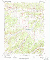
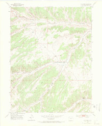
1952 Map of Wolf Ridge
USGS Topo · Published 1988About this map
Wolf Ridge dominates this Rio Blanco County landscape, a rugged divide separating the drainage of Yellow Creek from the complex gulches and draws to the west. At the heart of this mid-century survey sits 84 Ranch, positioned near a critical bend in the creek where water management is evident through a series of features including a Flume, Windmill, and a designated Ditch. The topographic detail from 1952 illustrates how early ranching operations relied on these specific water sources in an arid environment, further marked by an Artesian Well and various springs.
Find a feature on this map
18 named features on this map. Tap any name to fly to it.
Don’t see what you’re looking for? This feature index may not catch every label — zoom into the map to look around manually.
Map Details
Editions of this 1952 Wolf Ridge Map
7 editions found
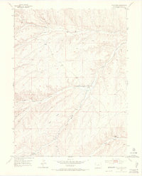
Other maps of this area

1907 · Rangely
USGS Topo · 1:125,000

1907 · White River
USGS Topo · 1:125,000

1910 · White River
USGS Topo · 1:125,000

1910 · Rangely
USGS Topo · 1:125,000

1952 · Wolf Ridge
USGS Topo · 1:24,000

1952 · Yankee Gulch
USGS Topo · 1:24,000

1952 · Rock School
USGS Topo · 1:24,000

1952 · Square S Ranch
USGS Topo · 1:24,000

1954 · Vernal
USGS Topo · 1:250,000

1956 · Grand Junction
USGS Topo · 1:250,000