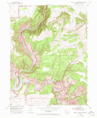
1954 Map of Canyon Of Lodore South
USGS Topo · Published 1972About this map
The Yampa River and Green River converge within the deep, twisting gorges of Dinosaur National Monument on this 1954 field survey. The map details the remote geography of the Canyon of Lodore, including the treacherous Hells Half Mile rapids and the massive profile of Steamboat Rock rising above Echo Park. For historians, the sheet identifies isolated 20th-century outposts like Massey Cabin, Gardners Cabin, and Huffman Place, reflecting the lonely life of early ranching and habitation in this desert landscape.
Find a feature on this map
29 named features on this map. Tap any name to fly to it.
Don’t see what you’re looking for? This feature index may not catch every label — zoom into the map to look around manually.
Map Details
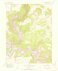
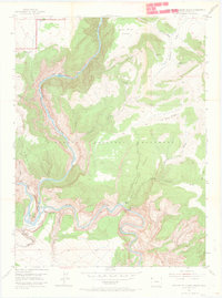
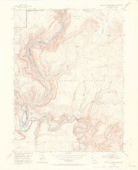
Editions of this 1954 Canyon Of Lodore South Map
5 editions found
Other maps of this area

1885 · Ashley
USGS Topo · 1:250,000

1907 · Rangely
USGS Topo · 1:125,000

1907 · Jensen
USGS Topo · 1:125,000

1910 · Jensen
USGS Topo · 1:125,000

1910 · Rangely
USGS Topo · 1:125,000

1954 · Hells Canyon
USGS Topo · 1:24,000

1954 · Canyon of Lodore South
USGS Topo · 1:24,000

1954 · Canyon of Lodore North
USGS Topo · 1:24,000

1954 · Vernal
USGS Topo · 1:250,000

1955 · Stuntz Reservoir
USGS Topo · 1:24,000