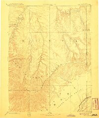
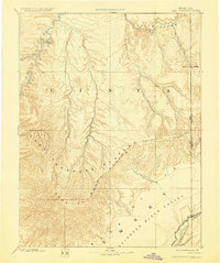
1885 Map of East Tavaputs
USGS Topo · Published 1908About this map
The East Tavaputs Plateau forms the heart of this late nineteenth-century reconnaissance, a landscape defined by the deep incisions of Desolation Canyon and the winding course of the Green River. Surveyed by the pioneering Hayden and Powell expeditions in the 1870s, the map reveals an arid wilderness characterized by massive geological formations like the Brown Cliffs and the Roan or Book Cliffs. The drainage patterns of White River and its tributaries, such as Asphalt Creek and Bitter Water Creek, illustrate the complex hydrology of the Uinta region.
Find a feature on this map
20 named features on this map. Tap any name to fly to it.
Don’t see what you’re looking for? This feature index may not catch every label — zoom into the map to look around manually.
Map Details
Editions of this 1885 East Tavaputs Map
6 editions found
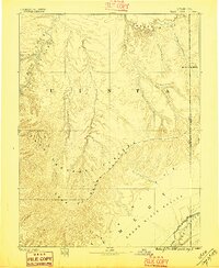
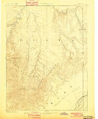
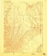
Other maps of this area

1885 · San Rafael
USGS Topo · 1:250,000

1885 · East Tavaputs
USGS Topo · 1:250,000

1885 · La Sal
USGS Topo · 1:250,000

1885 · Ashley
USGS Topo · 1:250,000

1885 · Uinta
USGS Topo · 1:250,000

1886 · Price River
USGS Topo · 1:250,000

1896 · Price River
USGS Topo · 1:250,000

1907 · Rangely
USGS Topo · 1:125,000

1907 · Jensen
USGS Topo · 1:125,000

1910 · Jensen
USGS Topo · 1:125,000