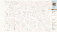
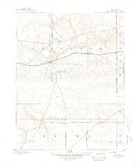
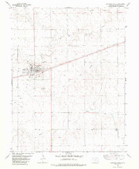
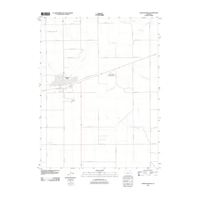
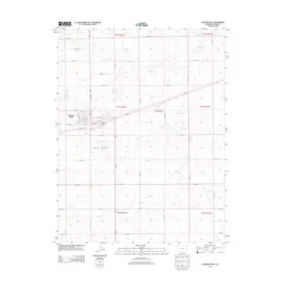
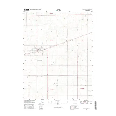
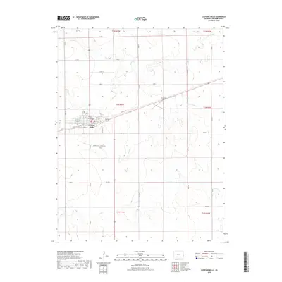
1981 Map of Cheyenne Wells
USGS Topo · Published 1982About this map
Union Pacific tracks define the east-west corridor of this High Plains landscape, connecting the primary settlements of Cheyenne Wells and Kit Carson across the Colorado-Kansas border. The terrain is a complex network of intermittent drainage systems, where the headwaters of the Smoky Hill River—including its North and South Forks—begin their journey toward the Kansas River basin. These seasonal watercourses, such as Wild Horse Creek and White Woman Creek, dictate the historical placement of ranching outposts and small communities like Arapahoe and Mt Pearl. The map illustrates a rural economy reliant on these vital water sources and the transit infrastructure of the railroad. Beyond the rail corridor, the presence of an Oil Field and various gravel pits indicates the subsurface industrial activity that supplemented the region's agricultural character in the early 1980s.
Find a feature on this map
35 named features on this map. Tap any name to fly to it.
Don’t see what you’re looking for? This feature index may not catch every label — zoom into the map to look around manually.
Map Details
Editions of this 1981 Cheyenne Wells Map
This is the sole edition of this map. No revisions or reprints were ever made.
Historical Maps of Cheyenne Wells Through Time
9 maps found

1892 Cheyenne Wells
Cheyenne County, CO
1894 Cheyenne Wells
Cheyenne County, CO
1981 Cheyenne Wells
Cheyenne County, CO
1982 Cheyenne Wells
Cheyenne County, CO
2010 Cheyenne Wells
Cheyenne County, CO
2013 Cheyenne Wells
Cheyenne County, CO
2016 Cheyenne Wells
Cheyenne County, CO
2019 Cheyenne Wells
Cheyenne County, CO
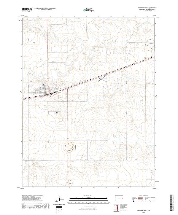
2022 Cheyenne Wells
Cheyenne County, CO