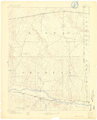
1892 Map of Granada
USGS Topo · Published 1892About this map
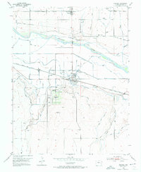
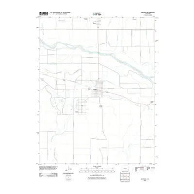
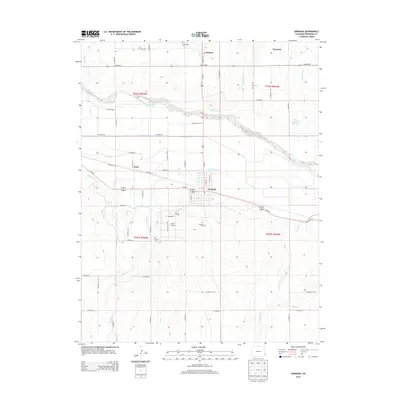
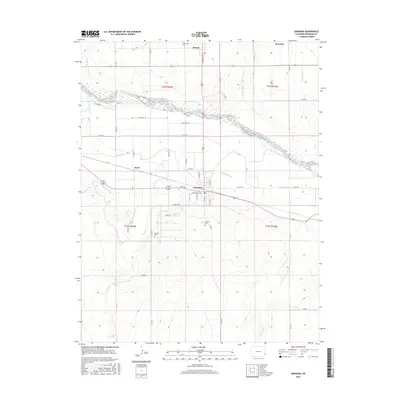
The Arkansas River corridor dominates this high plains landscape of the early 1890s, serving as a primary artery for settlement and transit near the Colorado Kansas State Line. Following the river, the Atchison Topeka & Santa Fe Railroad links the riverfront communities of Granada, Carlton, and Hollys. To the north, a separate transportation network is defined by the Missouri Pacific Railroad, which connects frontier outposts like Sheridan Lake, Brandon, and Towner. This dual-railroad geography reflects the competing interests of late-century westward expansion, where small rail stops provided essential lifelines for ranching operations. The terrain between the tracks is marked by family-run locations such as Ellis Rancho and Watsons Rancho, alongside natural landmarks like Coon Valley, showcasing the early development of Prowers and Kiowa counties before the widespread irrigation and agricultural shifts of the following century.
Find a feature on this map
31 named features on this map. Tap any name to fly to it.
Don’t see what you’re looking for? This feature index may not catch every label — zoom into the map to look around manually.
Map Details
Editions of this 1892 Granada Map
This is the sole edition of this map. No revisions or reprints were ever made.
Historical Maps of Holly Through Time
9 maps found