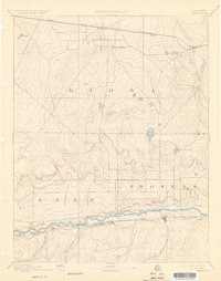
1892 Map of Lamar
USGS Topo · Published 1925About this map
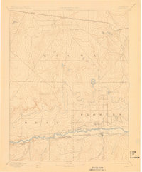
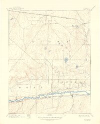
The Arkansas River serves as the central artery of this high plains landscape, anchoring the nascent town of Lamar and a series of vital water works like the Arkansas Valley Canal. This 1890s survey, conducted by Willard D. Johnson, illustrates the early reliance on both river irrigation and major transcontinental rail networks. The southern corridor is defined by the Atchison Topeka and Santa Fe Railroad, while the northern portion of the map traces the Missouri Pacific Railroad through settlements like Eads and Chivington. Local history is preserved in the naming of ephemeral watercourses and landmarks such as Graveyard Creek, Kiowa Springs, and King Reservoir, reflecting the critical importance of water management in the arid climate of eastern Colorado at the close of the nineteenth century.
Find a feature on this map
26 named features on this map. Tap any name to fly to it.
Don’t see what you’re looking for? This feature index may not catch every label — zoom into the map to look around manually.
Map Details
Editions of this 1892 Lamar Map
7 editions found
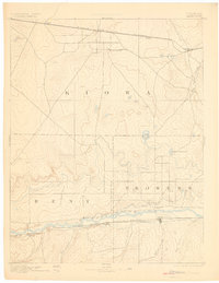
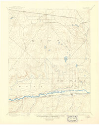
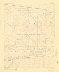
Other maps of this area

1890 · Granada
USGS Topo · 1:125,000

1891 · Arroyo
USGS Topo · 1:125,000

1891 · Albany
USGS Topo · 1:125,000

1891 · Kit Carson
USGS Topo · 1:125,000

1891 · Higbee
USGS Topo · 1:125,000

1891 · Las Animas
USGS Topo · 1:125,000

1892 · Lamar
USGS Topo · 1:125,000

1892 · Cheyenne Wells
USGS Topo · 1:125,000

1892 · Granada
USGS Topo · 1:125,000

1892 · Two Butte
USGS Topo · 1:125,000