Loading...
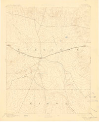
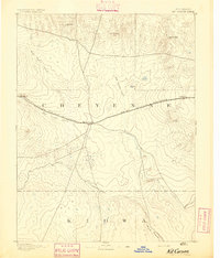
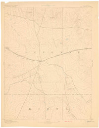
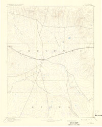
Loading map...1893 Map of Kit Carson
USGS Topo · Published 1909About this map
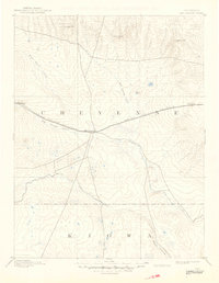
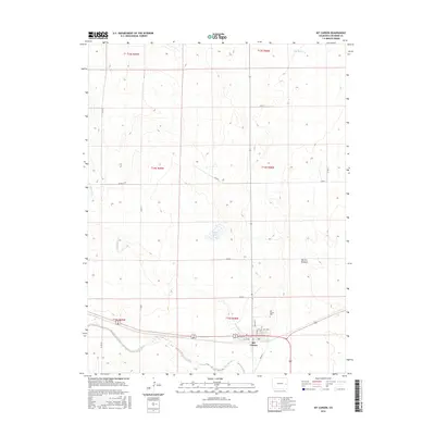
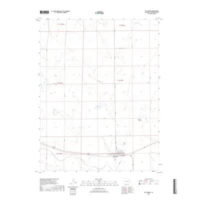
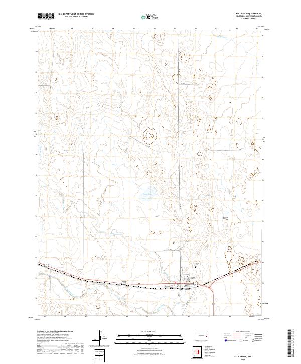
Kit Carson serves as the central hub of this Eastern Colorado landscape, situated at the junction of several critical waterways and the Union Pacific Railroad. Surveyed in 1890, the map illustrates a region where transport and topography are inextricably linked. The railroad follows the gentle gradients provided by Big Sandy Creek, connecting the small outposts of Wild Horse and First View. These early settlements were vital stops for steam-era locomotives crossing the high plains between the Kansas border and Denver.
Find a feature on this map
18 named features on this map. Tap any name to fly to it.
Don’t see what you’re looking for? This feature index may not catch every label — zoom into the map to look around manually.
Map Details
Date Portrayed1893
Date Published1909
PublisherU.S. Geological Survey
Map TypeTopographic
Scale1:125,000
Physical Dimensions16.2 x 20.1 inches
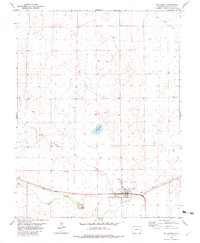
Editions of this 1893 Kit Carson Map
5 editions found
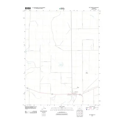
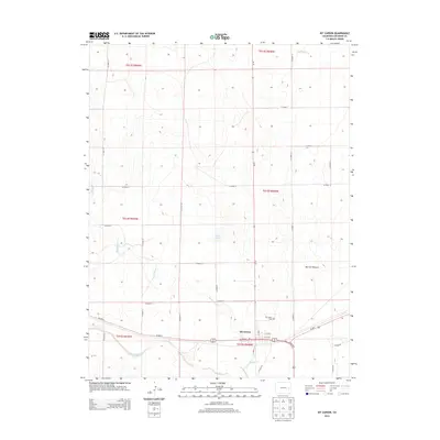
Historical Maps of Kit Carson Through Time
8 maps found

Featured Locations
Source Details
SourceU.S. Geological Survey
CopyrightPublic Domain