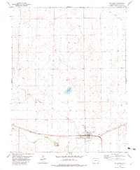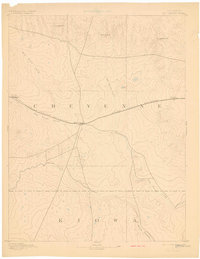
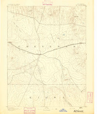
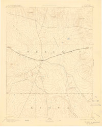
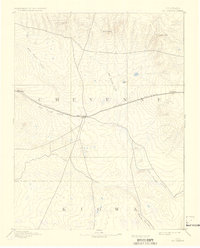
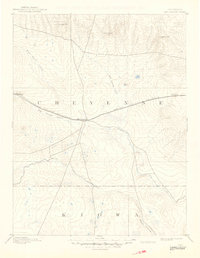
1893 Map of Kit Carson
USGS Topo · Published 1898About this map
Kit Carson serves as the central hub of this late 19th-century reconnaissance survey, positioned where the high plains landscape is defined by the convergence of wagon roads and the steel of the Union Pacific Railroad. This is a territory governed by the drainage of seasonal watercourses like Big Sandy Creek and Rush Creek, which dictated the routes of travel and the locations of the earliest rail stops. At the time of this mapping, the settlement pattern was sparse, anchored by small stations such as Wild Horse to the west and First View to the east. Topographer Willard D. Johnson recorded the subtle rises of the terrain, including landmarks like Twin Buttes and Landsman Hill, which served as vital navigational points in the open expanse of Cheyenne and Kiowa counties.
Find a feature on this map
16 named features on this map. Tap any name to fly to it.
Don’t see what you’re looking for? This feature index may not catch every label — zoom into the map to look around manually.
Map Details
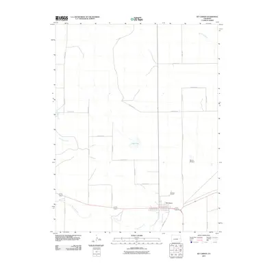
Editions of this 1893 Kit Carson Map
5 editions found
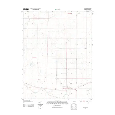
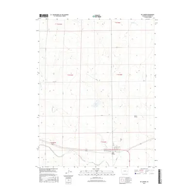
Historical Maps of Kit Carson Through Time
8 maps found