
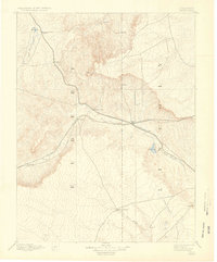
1891 Map of Limon
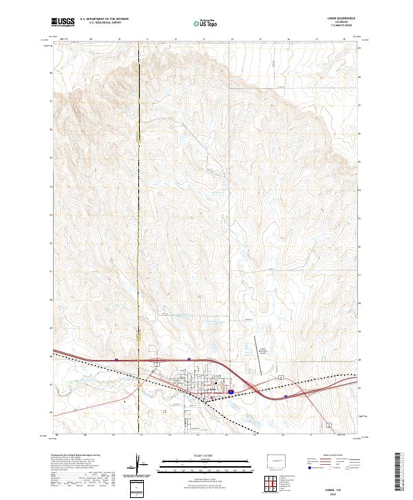
USGS Topo · Published 1963About this map
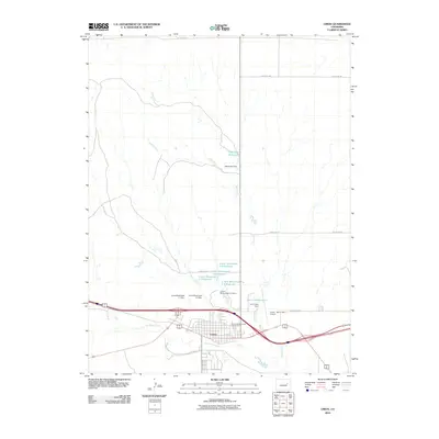
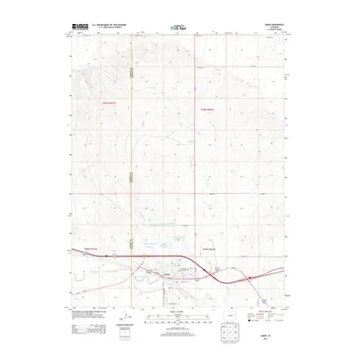
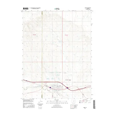
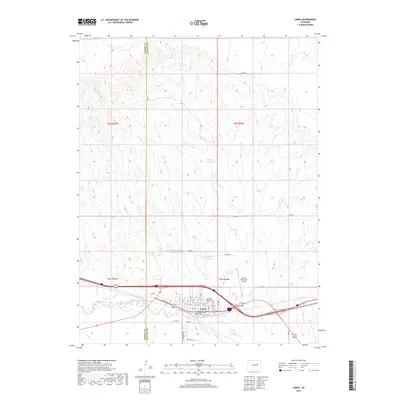
The confluence of the Kansas Pacific Railroad and the Chicago Kansas and Nebraska Railroad defines the development of this High Plains corridor in the early 1890s. Centered on the junction at Limon, the map illustrates a landscape transitioning from open range to a rail-dependent economy. Early settlements like River Bend, Resolis, and Agate follow the iron rail lines, which provided the essential lifeline for pioneers across the divide between the East Bijou Creek and Big Sandy Creek basins.
Find a feature on this map
21 named features on this map. Tap any name to fly to it.
Don’t see what you’re looking for? This feature index may not catch every label — zoom into the map to look around manually.
Map Details
Editions of this 1891 Limon Map
This is the sole edition of this map. No revisions or reprints were ever made.
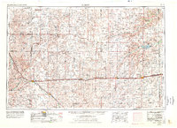
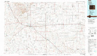
Historical Maps of Limon Through Time
12 maps found
1891 Limon
Lincoln County, CO
1892 Limon
Lincoln County, CO
1954 Limon
Lincoln County, CO

1957 Limon
Lincoln County, CO

1958 Limon
Lincoln County, CO
1970 Limon
Lincoln County, CO
1984 Limon
Lincoln County, CO
2010 Limon
Lincoln County, CO
2013 Limon
Lincoln County, CO
2016 Limon
Lincoln County, CO
2019 Limon
Lincoln County, CO
2022 Limon
Lincoln County, CO