Old Maps of Genoa, Colorado
Explore 18 old maps of Genoa, spanning from 1891 to today. These high-resolution historic maps reveal how streets, neighborhoods, landmarks, and natural features evolved over time — perfect for genealogy, metal detecting, research, and local history exploration.
What you can do with these maps:
- See how Genoa changed over time: Compare historical maps to modern-day views to trace roads, homesites, rail lines & more.
- View detailed metadata: Each map includes creators, publishers, year, scale, and archive source.
- Overlay maps with satellite & LiDAR: Visualize the past alongside modern tools to explore terrain & human change.
- Trusted historical sources: Maps sourced from the USGS, Library of Congress, and other archives.
- Access maps your way: View online, download high-res files, or order prints for personal or research use.
Start exploring old maps of Genoa to uncover forgotten places, hidden landmarks, and the deep history beneath your feet.
Genoa, CO maps
(18)- 1891 Map of Limon, 1963 Print
 1891 Limon1963 Print · USGSEastern Colorado's rail corridors are captured in the early 1890s as steam-age transit hubs began to reshape the plains. Trace early homesteads and rail junctions at Limon, River Bend, and the Silsby Ranch along the route of the Kansas Pacific Railroad.
 - 1892 Map of Limon
 1892 Limon1892 Print · USGSThe High Plains of eastern Colorado come into focus in the 1890s as a critical railway junction at the meeting of the Elbert and Lincoln county line. Trace early settlements like Agate, River Bend, and Resolis along the path of the Kansas Pacific Railroad.6 unique versions available
 - 1954 Map of Limon
 1954 Limon1954 Print · USGSThe Eastern Colorado plains and the Kansas borderlands come alive in the mid-fifties, showing the vital rail-and-road corridor through Limon. Genealogists and historians can trace the Chicago Rock Island & Pacific line through Burlington and find remote outposts like Arickaree and Anton.4 unique versions available
 - 1957 Map of Limon
 1957 Limon1957 Print · USGSThe High Plains of Eastern Colorado and Western Kansas come alive in the mid-1950s, showing the vital rail-and-road connections of the era. You can trace the path of the Chicago Rock Island and Pacific through towns like Limon, Stratton, and Burlington or find the early footprint of Bonny Reservoir.
 - 1958 Map of Limon
 1958 Limon1958 Print · USGSEastern Colorado and the Kansas border meet in this late-fifties study of High Plains rail and river systems. Researchers can trace the path of the Chicago Rock Island and Pacific through Limon and Burlington, or locate the Bonny Dam and Bonny Reservoir.
 - 1979 Map of Genoa East
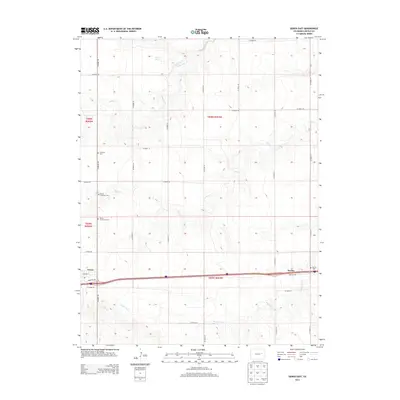
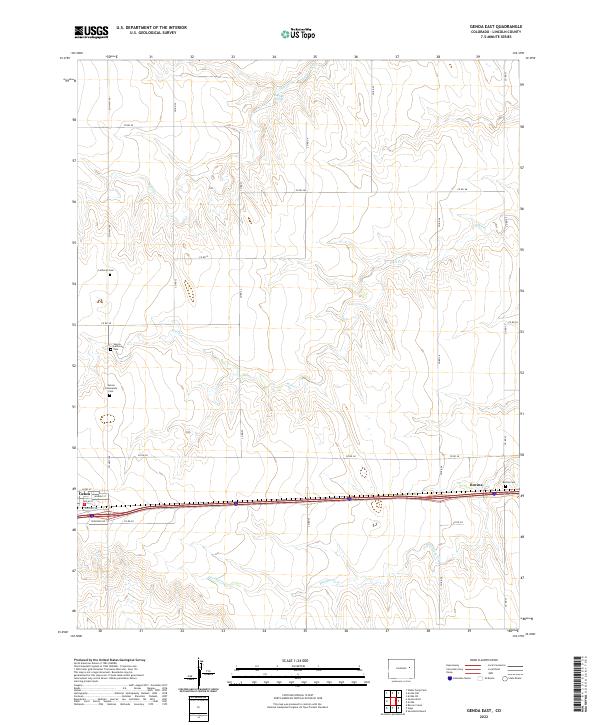
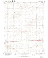 1979 Genoa East1979 Print · USGSLincoln County's high prairie comes into focus in the late 1970s along the historic Chicago Rock Island and Pacific railroad line. Family historians can locate specific sites like Genoa Community Cemetery and trace the paths of Hell Creek and Dugout Creek.
 - 1980 Map of Genoa West
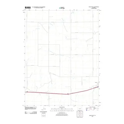
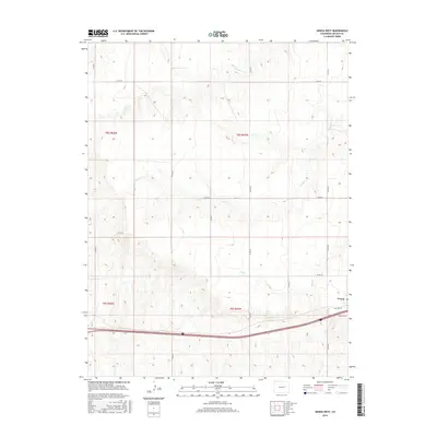
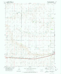 1980 Genoa West1980 Print · USGSThe High Plains of Lincoln County are captured in the late seventies as the community of Genoa centers a landscape of prairie ranching and rail. You can trace the path of the Chicago Rock Island and Pacific railroad and find local water sources like Lickdab Creek and several isolated Well sites.
 - 1984 Map of Limon
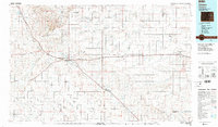 1984 Limon1984 Print · USGSEastern Colorado's High Plains are captured in the mid-1980s, centered on the vital transportation crossroads of Limon. Researchers can trace the path of the Union Pacific through small prairie settlements like Genoa, Bovina, and Agate.
 - 2010 Map of Genoa East, 2010 Print
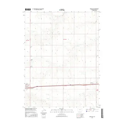
 2010 Genoa East2010 Print · USGSCovers Genoa, including Bovina, Lincoln County, and other nearby areas
 - 2010 Map of Genoa West, 2010 Print
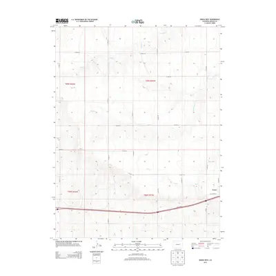
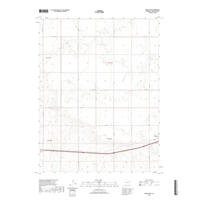
 2010 Genoa West2010 Print · USGSCovers Genoa, including Lincoln County, United States, and other nearby areas
 - 2013 Map of Genoa West, 2013 Print
 2013 Genoa West2013 Print · USGSCovers Genoa, including Lincoln County, United States, and other nearby areas
 - 2013 Map of Genoa East, 2013 Print
 2013 Genoa East2013 Print · USGSCovers Genoa, including Bovina, Lincoln County, and other nearby areas
 - 2016 Map of Genoa West, 2016 Print
 2016 Genoa West2016 Print · USGSCovers Genoa, including Lincoln County, United States, and other nearby areas
 - 2016 Map of Genoa East, 2016 Print
 2016 Genoa East2016 Print · USGSCovers Genoa, including Bovina, Lincoln County, and other nearby areas
 - 2019 Map of Genoa West, 2019 Print
 2019 Genoa West2019 Print · USGSCovers Genoa, including Lincoln County, United States, and other nearby areas
 - 2019 Map of Genoa East, 2019 Print
 2019 Genoa East2019 Print · USGSCovers Genoa, including Bovina, Lincoln County, and other nearby areas
 - 2022 Map of Genoa East, 2022 Print
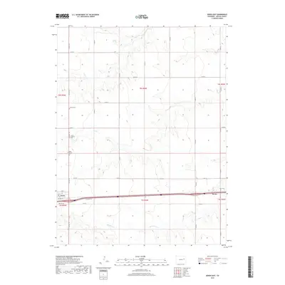
 2022 Genoa East2022 Print · USGSLincoln County’s High Plains are documented here in the early twenty-first century, showing the small settlements of Genoa and Bovina. Genealogists can locate several burial sites including Genoa Lutheran Cem and Lutheran Cem near Hell Cr.
 - 2022 Map of Genoa West, 2022 Print
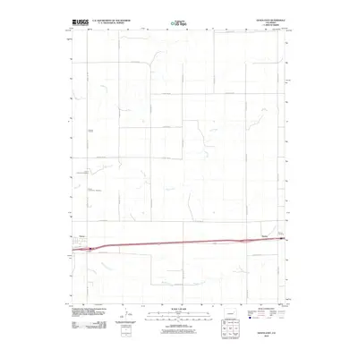
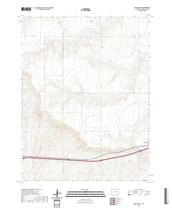 2022 Genoa West2022 Print · USGSThe eastern Colorado prairie near Genoa is captured here in the early twenty-first century, showing a landscape shaped by ranching and the road. Trace the historic route of Old Hwy 24 alongside modern transit and the drainages of Hell Cr and Dugout Cr.
End of results
Showing maps 1-18 of 18
Top cities near Genoa
Frequently asked questions
- What are the different types of historical maps available for Genoa?
- What is the oldest map of Genoa?
- Where can I purchase historical maps of Genoa for my home or office?
- Where can I download high-res historical maps of Genoa?
- Are there historical topographic maps available for Genoa?
- Is there historical aerial imagery available for Genoa?
- Where are historical maps of Genoa sourced from?