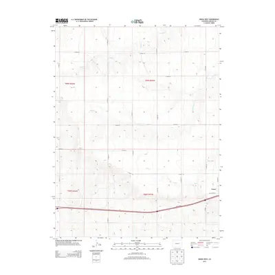
2013 Map of Genoa West
USGS Topo · Published 2013About this map
Genoa occupies the southeastern corner of this Lincoln County survey, serving as the primary hub for the surrounding agricultural plains. The landscape is defined by the drainage patterns of several seasonal watercourses, including Lickdab Cr, Dugout Cr, and Hell Cr, which carve shallow paths across the high plains. The transport network reflects the evolution of Colorado's eastern corridors, as modern infrastructure runs parallel to historical routes like Old Highway 24. This transition from local dirt tracks to paved arterial roads, such as the Frontage Rd, demonstrates the shifting focus of rural connectivity in the early 21st century. The map also meticulously documents the Public Land Survey System divisions, featuring township and range markers for t008s r056w, t008s r055w, t009s r056w, and t009s r055w, providing a clear grid for property research and local history.
Find a feature on this map
22 named features on this map. Tap any name to fly to it.
Don’t see what you’re looking for? This feature index may not catch every label — zoom into the map to look around manually.
Map Details
Editions of this 2013 Genoa West Map
This is the sole edition of this map. No revisions or reprints were ever made.
Other maps of this area

1891 · Limon
USGS Topo · 1:125,000

1892 · Limon
USGS Topo · 1:125,000

1954 · Limon
USGS Topo · 1:250,000

1957 · Limon
USGS Topo · 1:250,000

1958 · Limon
USGS Topo · 1:250,000

1970 · Limon
USGS Topo · 1:24,000

1970 · Four Corners
USGS Topo · 1:24,000

1970 · T Draw
USGS Topo · 1:24,000

1979 · Arriba NW
USGS Topo · 1:24,000
1979 · Barron Creek
USGS Topo · 1:24,000