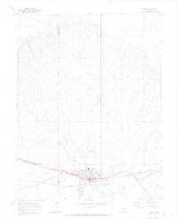
1970 Map of Limon
USGS Topo · Published 1973About this map
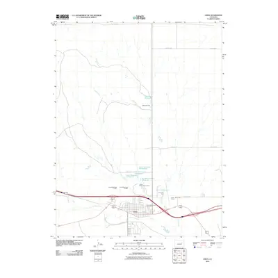
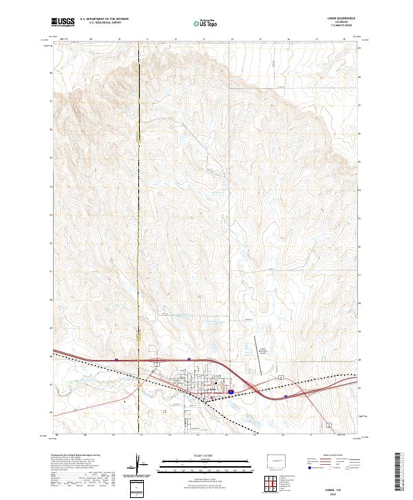
The town of Limon serves as a critical railway junction on this 1970s survey, where the Union Pacific and the Chicago Rock Island and Pacific rail lines converge. This convergence defines the settlement's layout, supporting local infrastructure like the High Sch, Pershing Mem Cem, and the Municipal Airport to the east. The surrounding landscape of the High Plains is marked by the courses of Lake Creek and Big Sandy Creek, which draw a stark contrast to the elevated terrain of Foncanyon Hill to the north.
Find a feature on this map
18 named features on this map. Tap any name to fly to it.
Don’t see what you’re looking for? This feature index may not catch every label — zoom into the map to look around manually.
Map Details
Editions of this 1970 Limon Map
This is the sole edition of this map. No revisions or reprints were ever made.
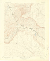
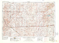
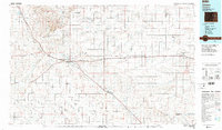
Historical Maps of Limon Through Time
12 maps found

1891 Limon
Lincoln County, CO
1892 Limon
Lincoln County, CO
1954 Limon
Lincoln County, CO

1957 Limon
Lincoln County, CO

1958 Limon
Lincoln County, CO
1970 Limon
Lincoln County, CO
1984 Limon
Lincoln County, CO
2010 Limon
Lincoln County, CO
2013 Limon
Lincoln County, CO
2016 Limon
Lincoln County, CO
2019 Limon
Lincoln County, CO
2022 Limon
Lincoln County, CO