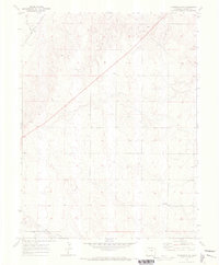
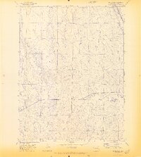
1970 Map of Matheson NE
USGS Topo · Published 1973About this map
Big Sandy Creek meanders through the northwest corner of this high plains landscape, accompanied by the diagonal path of the Chicago Rock Island and Pacific railroad. The terrain is defined by a series of drainages, including North Rush Creek and Willow Creek, which break up the prairie into rolling divides. While large settlements are absent, the map documents the religious and social centers of the rural community, such as the Pleasant Plains Community Ch and its associated cemetery.
Find a feature on this map
11 named features on this map. Tap any name to fly to it.
Don’t see what you’re looking for? This feature index may not catch every label — zoom into the map to look around manually.
Map Details
Editions of this 1970 Matheson NE Map
This is the sole edition of this map. No revisions or reprints were ever made.
Other maps of this area

1891 · Limon
USGS Topo · 1:125,000

1892 · Limon
USGS Topo · 1:125,000

1954 · Limon
USGS Topo · 1:250,000

1957 · Limon
USGS Topo · 1:250,000

1958 · Limon
USGS Topo · 1:250,000
1970 · Matheson SW
USGS Topo · 1:24,000
1970 · Matheson
USGS Topo · 1:24,000
1970 · Matheson SE
USGS Topo · 1:24,000
1970 · Beuck Draw
USGS Topo · 1:24,000

1970 · Limon
USGS Topo · 1:24,000