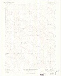
1970 Map of Matheson SW
USGS Topo · Published 1973About this map
Middle Rush Creek and South Rush Creek weave through this section of the Colorado high plains, defining the drainage patterns of Elbert County as they appeared in 1970. The landscape is primarily defined by its hydrology and the sparse infrastructure of the era, most notably Harrisville Road which serves as a primary east-west corridor for the local ranching and agricultural community. Evidence of local industry is visible through several instances of Gravel Pit workings situated near the creek beds, likely supporting the maintenance of the surrounding unimproved road network. This survey captures the terrain just after the 1968 aerial photography was conducted, providing a technical record of the land's elevation and minor rural developments before later decades of change.
Find a feature on this map
4 named features on this map. Tap any name to fly to it.
Don’t see what you’re looking for? This feature index may not catch every label — zoom into the map to look around manually.
Map Details
Editions of this 1970 Matheson SW Map
This is the sole edition of this map. No revisions or reprints were ever made.
Other maps of this area

1889 · Sanborn
USGS Topo · 1:125,000

1891 · Sanborn
USGS Topo · 1:125,000

1891 · Limon
USGS Topo · 1:125,000

1892 · Limon
USGS Topo · 1:125,000

1893 · Sanborn
USGS Topo · 1:125,000

1893 · Big Springs
USGS Topo · 1:125,000

1953 · Denver
USGS Topo · 1:250,000

1954 · Limon
USGS Topo · 1:250,000

1954 · Lamar
USGS Topo · 1:250,000

1954 · Pueblo
USGS Topo · 1:250,000