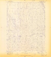
1970 Map of Beuck Draw
USGS Topo · Published 1973About this map
Union Pacific rails cut through the northeastern corner of this Colorado high plains landscape, passing just above the local landmark of Cedar Point. This survey, field-checked in 1970, captures a region defined by its drainage patterns and utilitarian infrastructure. The eponymous Beuck Draw and East Bijou Creek dominate the western portion of the quadrangle, while the eastern side is etched by East Godfrey Gulch and Willow Gulch.
Find a feature on this map
7 named features on this map. Tap any name to fly to it.
Don’t see what you’re looking for? This feature index may not catch every label — zoom into the map to look around manually.
Map Details
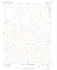
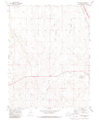
Editions of this 1970 Beuck Draw Map
3 editions found
Other maps of this area

1891 · Limon
USGS Topo · 1:125,000

1892 · Limon
USGS Topo · 1:125,000

1953 · Denver
USGS Topo · 1:250,000

1954 · Limon
USGS Topo · 1:250,000

1957 · Denver
USGS Topo · 1:250,000

1957 · Limon
USGS Topo · 1:250,000

1958 · Limon
USGS Topo · 1:250,000

1958 · Denver
USGS Topo · 1:250,000

1960 · Denver
USGS Topo · 1:250,000

1970 · Agate
USGS Topo · 1:24,000