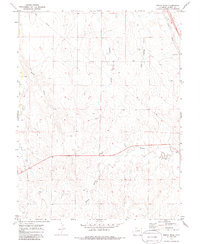
1970 Map of Beuck Draw
USGS Topo · Published 1986About this map
The high plains of Elbert County appear in this 1970 survey as a landscape defined by seasonal drainages and the enduring infrastructure of the western frontier. The Union Pacific railroad cuts through the northeastern corner near Cedar Point, following a corridor that has long served as a vital transportation artery across the Colorado prairie. The terrain is deeply etched by a network of intermittent watercourses, including Beuck Draw, Godfrey Gulch, and East Bijou Creek, which shape the local topography into a series of ridges and shallow valleys.
Find a feature on this map
9 named features on this map. Tap any name to fly to it.
Don’t see what you’re looking for? This feature index may not catch every label — zoom into the map to look around manually.
Map Details
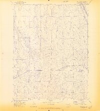
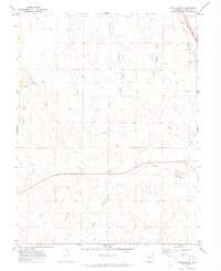
Editions of this 1970 Beuck Draw Map
3 editions found
Other maps of this area

1891 · Limon
USGS Topo · 1:125,000

1892 · Limon
USGS Topo · 1:125,000

1953 · Denver
USGS Topo · 1:250,000

1954 · Limon
USGS Topo · 1:250,000

1957 · Denver
USGS Topo · 1:250,000

1957 · Limon
USGS Topo · 1:250,000

1958 · Limon
USGS Topo · 1:250,000

1958 · Denver
USGS Topo · 1:250,000

1960 · Denver
USGS Topo · 1:250,000

1970 · Agate
USGS Topo · 1:24,000