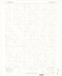
1970 Map of Matheson SE
USGS Topo · Published 1973About this map
North Rush Creek and Middle Rush Creek carve deep, branching drainage patterns across this high plains landscape on the eastern edge of Elbert County. The 1970 field check reveals a terrain primarily defined by its hydrology and sparse ranching infrastructure, including several mapped Wells and benchmark stations like WM 5648. The convergence of these seasonal waterways, including the smaller tributary of Apache Creek, suggests a landscape shaped by intermittent runoff typical of the Colorado prairie. Local land use is evidenced by fine dashed lines representing property fence lines, which delineate the large open sections of the township grid. For researchers, this survey provides a precise look at the rural hydrology and land boundaries before late 20th-century shifts in agricultural management.
Find a feature on this map
7 named features on this map. Tap any name to fly to it.
Don’t see what you’re looking for? This feature index may not catch every label — zoom into the map to look around manually.
Map Details
Editions of this 1970 Matheson SE Map
This is the sole edition of this map. No revisions or reprints were ever made.
Other maps of this area

1889 · Sanborn
USGS Topo · 1:125,000

1891 · Sanborn
USGS Topo · 1:125,000

1891 · Limon
USGS Topo · 1:125,000

1892 · Limon
USGS Topo · 1:125,000

1893 · Sanborn
USGS Topo · 1:125,000

1954 · Limon
USGS Topo · 1:250,000

1954 · Lamar
USGS Topo · 1:250,000

1957 · Limon
USGS Topo · 1:250,000

1958 · Limon
USGS Topo · 1:250,000

1958 · Lamar
USGS Topo · 1:250,000