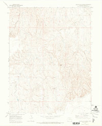
1970 Map of Barking Dog Spring
USGS Topo · Published 1973About this map
Barking Dog Spring centers this 1970 landscape, where the high plains of Elbert County transition through a series of complex drainages. The area is defined by the headwaters of Rattlesnake Creek and Beaver Creek, showing a terrain utilized primarily for ranching and resource extraction. Evidence of early land management is visible through the Gravel Pit and a network of unimproved routes, including a prominent Jeep Trail winding through the northern sections.
Find a feature on this map
11 named features on this map. Tap any name to fly to it.
Don’t see what you’re looking for? This feature index may not catch every label — zoom into the map to look around manually.
Map Details
Editions of this 1970 Barking Dog Spring Map
2 editions found
Other maps of this area

1891 · Limon
USGS Topo · 1:125,000

1892 · Limon
USGS Topo · 1:125,000

1954 · Limon
USGS Topo · 1:250,000

1957 · Limon
USGS Topo · 1:250,000

1958 · Limon
USGS Topo · 1:250,000
1969 · Noonen Reservoir SW
USGS Topo · 1:24,000

1970 · Agate
USGS Topo · 1:24,000
1970 · Beuck Draw
USGS Topo · 1:24,000

1970 · Limon
USGS Topo · 1:24,000

1970 · T Draw
USGS Topo · 1:24,000