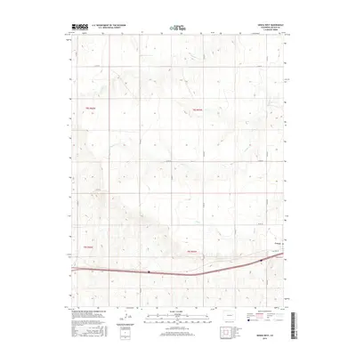
2016 Map of Genoa West
USGS Topo · Published 2016About this map
Genoa sits at the eastern edge of this High Plains landscape, where the transport corridor of Interstate 70 and Old Hwy 24 dominates the southern reaches. The map reveals a land defined by intermittent drainage and agricultural sectioning, with watercourses like Lickdab Cr and Dugout Cr carving subtle paths through the terrain. The presence of Hell Cr in the south-central portion further illustrates the drainage pattern of the region. A dense network of county roads, including Co RD 28 and Co RD 30, maintains the geometric grid of the rural landscape, connecting isolated farmsteads and providing access across the township lines of T8S and T9S. The inclusion of the Frontage Rd parallel to the interstate highlights the modern infrastructure that bypasses the older transit routes once vital to small-town commerce.
Find a feature on this map
22 named features on this map. Tap any name to fly to it.
Don’t see what you’re looking for? This feature index may not catch every label — zoom into the map to look around manually.
Map Details
Editions of this 2016 Genoa West Map
This is the sole edition of this map. No revisions or reprints were ever made.
Other maps of this area
1891 · Limon
USGS Topo · 1:125,000
1892 · Limon
USGS Topo · 1:125,000
1954 · Limon
USGS Topo · 1:250,000
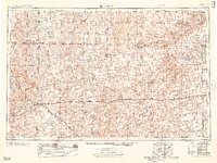
1957 · Limon
USGS Topo · 1:250,000
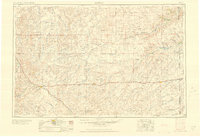
1958 · Limon
USGS Topo · 1:250,000
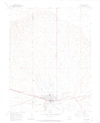
1970 · Limon
USGS Topo · 1:24,000
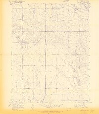
1970 · Four Corners
USGS Topo · 1:24,000
1970 · T Draw
USGS Topo · 1:24,000
1979 · Arriba NW
USGS Topo · 1:24,000
1979 · Barron Creek
USGS Topo · 1:24,000