
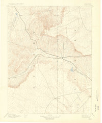
1892 Map of Limon
USGS Topo · Published 1892About this map
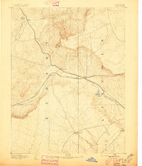
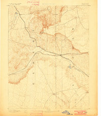
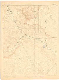
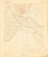
Kansas Pacific Railroad tracks trace the drainage of Big Sandy Creek in this late nineteenth-century mapping of the Colorado plains. Centered on the junction at Limon, the landscape is defined by the meeting of two major steel arteries, including the Chicago Kansas and Nebraska Railroad. These routes dictated the placement of early settlements like River Bend, Resolis, and Godfrey, which served as vital points for steam-era travel and transport across the High Plains. Away from the iron rails, the map documents the sparse agricultural footprint of the era, noting various unnamed Ranch sites and the specifically identified Silsby Ranch. Topographic relief is most pronounced at Cedar Point and Hugo Hill, providing landmarks for travelers moving between the intermittent waters of Beaver Creek and East Rush Creek.
Find a feature on this map
20 named features on this map. Tap any name to fly to it.
Don’t see what you’re looking for? This feature index may not catch every label — zoom into the map to look around manually.
Map Details
Editions of this 1892 Limon Map
6 editions found
Other maps of this area

1889 · Sanborn
USGS Topo · 1:125,000

1891 · Sanborn
USGS Topo · 1:125,000

1891 · Arroyo
USGS Topo · 1:125,000

1891 · Limon
USGS Topo · 1:125,000

1893 · Arroyo
USGS Topo · 1:125,000

1893 · Sanborn
USGS Topo · 1:125,000

1893 · Big Springs
USGS Topo · 1:125,000

1953 · Denver
USGS Topo · 1:250,000

1954 · Limon
USGS Topo · 1:250,000

1954 · Lamar
USGS Topo · 1:250,000