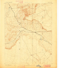
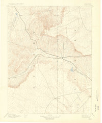
1892 Map of Limon
USGS Topo · Published 1901About this map
The high plains of eastern Colorado are defined here by a developing rail network and the early ranching outposts of Elbert and Lincoln counties. At the center of this 1890s landscape, the junction at Limon serves as a critical point where the Kansas Pacific Railroad and the Chicago Kansas and Nebraska Railroad meet. These corridors follow the natural drainages of the land, tracing the paths of Big Sandy Creek and East Bijou Creek.
Find a feature on this map
21 named features on this map. Tap any name to fly to it.
Don’t see what you’re looking for? This feature index may not catch every label — zoom into the map to look around manually.
Map Details
Editions of this 1892 Limon Map
6 editions found
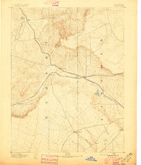
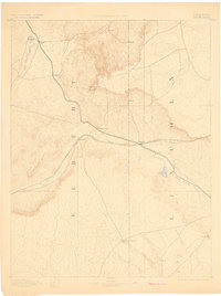
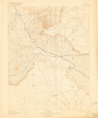
Other maps of this area

1889 · Sanborn
USGS Topo · 1:125,000

1891 · Sanborn
USGS Topo · 1:125,000

1891 · Arroyo
USGS Topo · 1:125,000

1891 · Limon
USGS Topo · 1:125,000

1892 · Limon
USGS Topo · 1:125,000

1893 · Arroyo
USGS Topo · 1:125,000

1893 · Sanborn
USGS Topo · 1:125,000

1893 · Big Springs
USGS Topo · 1:125,000

1953 · Denver
USGS Topo · 1:250,000

1954 · Limon
USGS Topo · 1:250,000