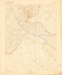
1892 Map of Limon
USGS Topo · Published 1918About this map
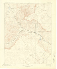
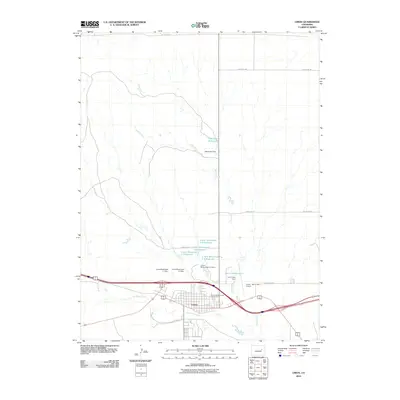
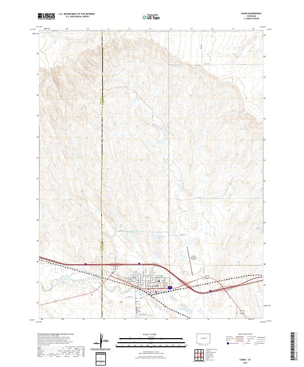
The convergence of the Kansas Pacific and Nebraska Railroad and the Chicago Kansas and Nebraska Railroad at Limon defines the development of the high plains in the early 1890s. This survey, conducted by A.H. Thompson and Willard D. Johnson, shows a landscape at the transition from open range to a rail-connected ranching economy.
Find a feature on this map
21 named features on this map. Tap any name to fly to it.
Don’t see what you’re looking for? This feature index may not catch every label — zoom into the map to look around manually.
Map Details
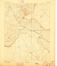
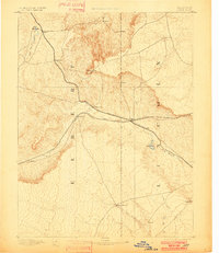
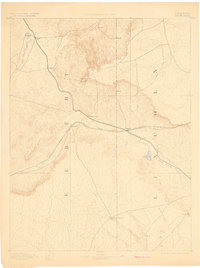
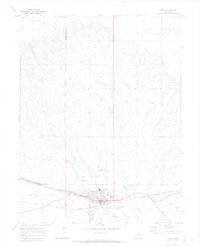
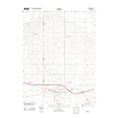
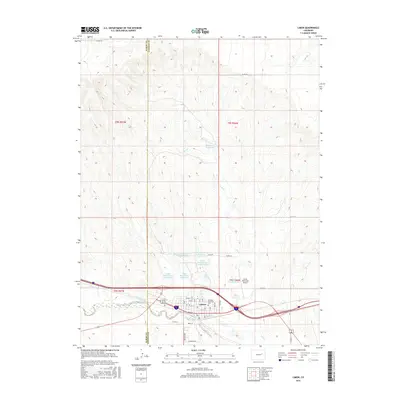
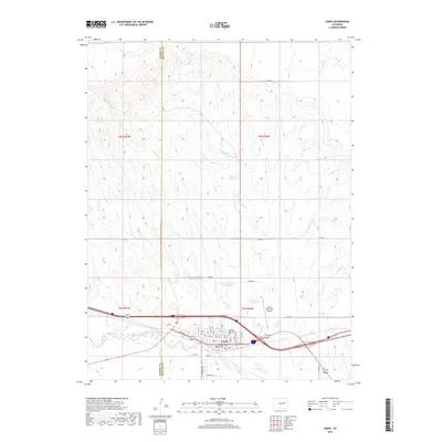
Editions of this 1892 Limon Map
6 editions found

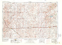
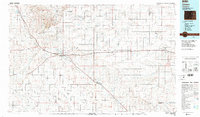
Historical Maps of Limon Through Time
12 maps found

1891 Limon
Lincoln County, CO
1892 Limon
Lincoln County, CO
1954 Limon
Lincoln County, CO

1957 Limon
Lincoln County, CO

1958 Limon
Lincoln County, CO
1970 Limon
Lincoln County, CO
1984 Limon
Lincoln County, CO
2010 Limon
Lincoln County, CO
2013 Limon
Lincoln County, CO
2016 Limon
Lincoln County, CO
2019 Limon
Lincoln County, CO
2022 Limon
Lincoln County, CO