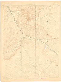
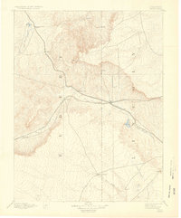
1892 Map of Limon
USGS Topo · Published 1902About this map
The High Plains of eastern Colorado converge at the junction of the Kansas Pacific Railroad and the Chicago Kansas and Nebraska Railroad, establishing Limon as a critical transportation hub in the late nineteenth century. Surveyed by Willard D. Johnson and his team, this reconnaissance map documents the transition from open range to established ranching and rail corridors. Small settlements and stops such as Resolis, River Bend, and Mattison trace the path of the tracks across the divide between the South Platte and Arkansas River basins.
Find a feature on this map
21 named features on this map. Tap any name to fly to it.
Don’t see what you’re looking for? This feature index may not catch every label — zoom into the map to look around manually.
Map Details
Editions of this 1892 Limon Map
6 editions found
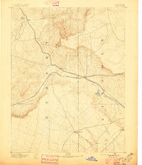
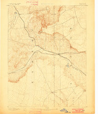
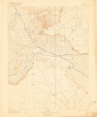
Other maps of this area

1889 · Sanborn
USGS Topo · 1:125,000

1891 · Sanborn
USGS Topo · 1:125,000

1891 · Arroyo
USGS Topo · 1:125,000

1891 · Limon
USGS Topo · 1:125,000

1892 · Limon
USGS Topo · 1:125,000

1893 · Arroyo
USGS Topo · 1:125,000

1893 · Sanborn
USGS Topo · 1:125,000

1893 · Big Springs
USGS Topo · 1:125,000

1953 · Denver
USGS Topo · 1:250,000

1954 · Limon
USGS Topo · 1:250,000