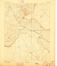
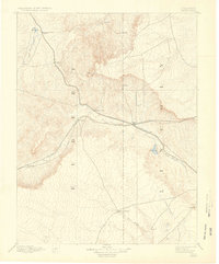
1892 Map of Limon
USGS Topo · Published 1896About this map
Limon and the high plains of Eastern Colorado serve as the focal point of this late nineteenth-century survey, illustrating a landscape defined by the intersection of major rail corridors. The Kansas Pacific Railroad and the Chicago Kansas and Nebraska Railroad create a distinct transportation hub that facilitated early settlement along the Big Sandy Creek drainage. These iron arteries connected isolated stations like River Bend, Resolis, and Mattison, which were critical supply points for the surrounding ranching country.
Find a feature on this map
22 named features on this map. Tap any name to fly to it.
Don’t see what you’re looking for? This feature index may not catch every label — zoom into the map to look around manually.
Map Details
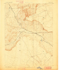
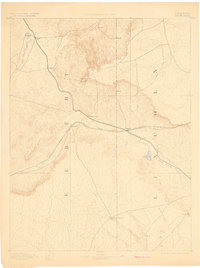
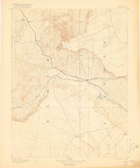
Editions of this 1892 Limon Map
6 editions found
Other maps of this area

1889 · Sanborn
USGS Topo · 1:125,000

1891 · Sanborn
USGS Topo · 1:125,000

1891 · Arroyo
USGS Topo · 1:125,000

1891 · Limon
USGS Topo · 1:125,000

1892 · Limon
USGS Topo · 1:125,000

1893 · Arroyo
USGS Topo · 1:125,000

1893 · Sanborn
USGS Topo · 1:125,000

1893 · Big Springs
USGS Topo · 1:125,000

1953 · Denver
USGS Topo · 1:250,000

1954 · Limon
USGS Topo · 1:250,000