
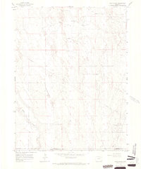
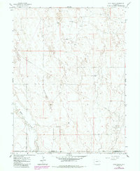
1965 Map of Huey Ranch
USGS Topo · Published 1967About this map
Pleasant Ridge anchors this landscape in eastern Colorado, where the high plains terrain is defined by the ephemeral drainage of Badger Creek and the expansion of mid-century energy infrastructure. The 1960s were a period of active resource development in the region, evidenced here by the Sand River Oil Field and numerous scattered Oil Wells and a significant Pipeline cutting across the survey. Family ranching operations remain the primary centers of settlement, with named sites such as Huey Ranch and Rediess Ranch serving as local landmarks. The map also traces established rural travel routes like Badger Creek Road and Seventeenmile Road, providing a clear view of how livestock ranching and oil extraction coexisted in Morgan County and Washington County during this era.
Find a feature on this map
16 named features on this map. Tap any name to fly to it.
Don’t see what you’re looking for? This feature index may not catch every label — zoom into the map to look around manually.
Map Details
Editions of this 1965 Huey Ranch Map
3 editions found
Other maps of this area

1954 · Limon
USGS Topo · 1:250,000

1954 · Sterling
USGS Topo · 1:250,000

1957 · Limon
USGS Topo · 1:250,000

1958 · Limon
USGS Topo · 1:250,000

1958 · Sterling
USGS Topo · 1:250,000

1963 · Lamb
USGS Topo · 1:24,000

1963 · Round Top
USGS Topo · 1:24,000

1965 · Gary
USGS Topo · 1:24,000

1965 · Vallery SE
USGS Topo · 1:24,000

1965 · Miller Ranch
USGS Topo · 1:24,000