
1951 Map of Weldona
USGS Topo · Published 1952About this map
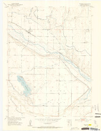
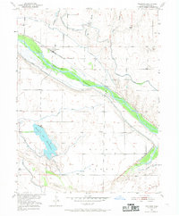
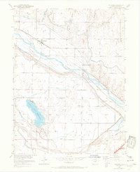
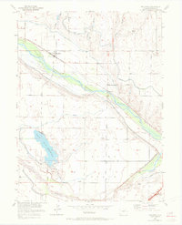
Weldona sits at the heart of an intricate irrigation network in Morgan County, where the South Platte River and its tributaries define the landscape of the Colorado plains. This 1951 survey reveals the vital role of water management in the region, showcasing a dense system of engineering including the Weldon Valley Canal, Riverside Canal, and the Work and Dragman Ditch. The presence of a Siphon and Aqueduct illustrates the complexity of moving water across the arid Bijou Flats.
Find a feature on this map
22 named features on this map. Tap any name to fly to it.
Don’t see what you’re looking for? This feature index may not catch every label — zoom into the map to look around manually.
Map Details
Editions of this 1951 Weldona Map
5 editions found
Other maps of this area

1950 · Wiggins
USGS Topo · 1:24,000

1951 · Orchard
USGS Topo · 1:24,000

1951 · Sunken Lake
USGS Topo · 1:24,000

1951 · Peace Valley School
USGS Topo · 1:24,000

1951 · Judson Hills
USGS Topo · 1:24,000

1951 · Fort Morgan
USGS Topo · 1:24,000

1954 · Sterling
USGS Topo · 1:250,000

1954 · Greeley
USGS Topo · 1:250,000

1957 · Greeley
USGS Topo · 1:250,000

1958 · Greeley
USGS Topo · 1:250,000