
1951 Map of Sunken Lake
USGS Topo · Published 1952About this map
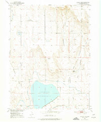
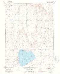
Jackson Reservoir dominates the southern portion of this high plains landscape, its waters contained by an extensive Dam 4447 and fed by the Riverside Canal. This 1951 survey reveals a region defined by its water management and agricultural infrastructure, where the Valley Ditch runs along the southern edge and numerous windmills dot the sections to the north. Evidence of shifting land use is visible at the Camden Reservoir (Aban'd), while the Pleasant Prairie School serves as a lone civic marker in the northern grasslands. The terrain is deeply scored by various drainages such as Cottonwood Draw and Coal Bank Draw, which channel runoff toward the reservoir. These features, along with a few marked oil wells, highlight the early 1950s reliance on irrigation and natural resource extraction in this corner of Morgan County.
Find a feature on this map
20 named features on this map. Tap any name to fly to it.
Don’t see what you’re looking for? This feature index may not catch every label — zoom into the map to look around manually.
Map Details
Editions of this 1951 Sunken Lake Map
3 editions found
Other maps of this area

1950 · Greasewood Lake
USGS Topo · 1:24,000

1950 · Masters
USGS Topo · 1:24,000

1951 · Masters
USGS Topo · 1:24,000

1951 · Weldona
USGS Topo · 1:24,000

1951 · Orchard
USGS Topo · 1:24,000

1951 · Judson Hills
USGS Topo · 1:24,000

1954 · Sterling
USGS Topo · 1:250,000

1954 · Greeley
USGS Topo · 1:250,000

1957 · Greeley
USGS Topo · 1:250,000

1958 · Greeley
USGS Topo · 1:250,000