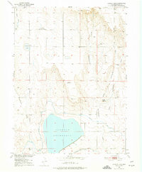
1951 Map of Sunken Lake
USGS Topo · Published 1974About this map
Jackson Reservoir dominates the southern landscape of this 1951 survey, a central feature of the irrigation infrastructure developed as part of the Missouri River Basin program. The terrain is defined by complex drainage systems, including Cottonwood Draw and Coal Bank Draw, which channel seasonal water toward the southern basins. Agriculture and water management are the primary drivers of settlement here, evidenced by the Weldon Valley Ditch and the Riverside Canal.
Find a feature on this map
17 named features on this map. Tap any name to fly to it.
Don’t see what you’re looking for? This feature index may not catch every label — zoom into the map to look around manually.
Map Details
Editions of this 1951 Sunken Lake Map
3 editions found
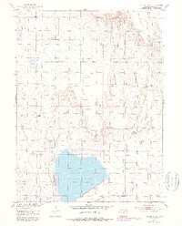
Other maps of this area

1950 · Greasewood Lake
USGS Topo · 1:24,000

1950 · Masters
USGS Topo · 1:24,000

1951 · Masters
USGS Topo · 1:24,000

1951 · Weldona
USGS Topo · 1:24,000

1951 · Orchard
USGS Topo · 1:24,000

1951 · Sunken Lake
USGS Topo · 1:24,000

1951 · Judson Hills
USGS Topo · 1:24,000

1954 · Sterling
USGS Topo · 1:250,000

1954 · Greeley
USGS Topo · 1:250,000

1957 · Greeley
USGS Topo · 1:250,000