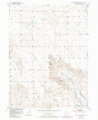
1951 Map of Dead Horse Springs
USGS Topo · Published 1984About this map
The arid high plains of Morgan County are defined by seasonal water sources and the expansion of early irrigation systems. Dead Horse Springs serves as a critical focal point in the central landscape, feeding into the winding Dead Horse Draw. This mid-century survey illustrates the rural infrastructure required to sustain life in eastern Colorado, from the Victory School serving local farm families to the numerous scattered Windmill sites used for livestock watering. To the southeast, the complex network of the Riverside Canal and Riverside Ditch demonstrates the engineered effort to divert water for agriculture. More modern developments also appear, including a Television Relay Station and the geodetic marker VABM 4630 Barker, marking the intersection of traditional ranching life and mid-twentieth-century technology.
Find a feature on this map
15 named features on this map. Tap any name to fly to it.
Don’t see what you’re looking for? This feature index may not catch every label — zoom into the map to look around manually.
Map Details
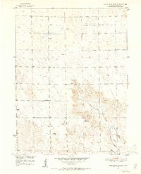
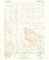
Editions of this 1951 Dead Horse Springs Map
4 editions found
Other maps of this area

1951 · Dead Horse Springs
USGS Topo · 1:24,000

1951 · Brush West
USGS Topo · 1:24,000

1951 · Antelope Springs
USGS Topo · 1:24,000

1951 · Brush East
USGS Topo · 1:24,000

1951 · Peace Valley School
USGS Topo · 1:24,000

1951 · Fort Morgan
USGS Topo · 1:24,000

1954 · Sterling
USGS Topo · 1:250,000

1958 · Sterling
USGS Topo · 1:250,000

1971 · Brush East
USGS Topo · 1:24,000
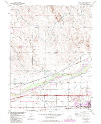
1971 · Brush West
USGS Topo · 1:24,000