
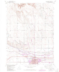
1951 Map of Dead Horse Springs
USGS Topo · Published 1952About this map
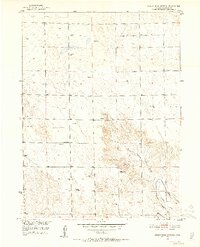
Dead Horse Draw carves a significant path through this section of Morgan County, directing the drainage of the arid landscape toward the southeast. In 1951, this area was characterized by a sparse, ranching-oriented infrastructure defined by the frequent placement of Windmill sites, which were essential for sustaining life and livestock on the high plains. The presence of the Victory School suggests a localized community hub during the mid-century, even as the broader landscape remained largely open and undeveloped.
Find a feature on this map
11 named features on this map. Tap any name to fly to it.
Don’t see what you’re looking for? This feature index may not catch every label — zoom into the map to look around manually.
Map Details
Editions of this 1951 Dead Horse Springs Map
4 editions found
Other maps of this area

1951 · Brush West
USGS Topo · 1:24,000

1951 · Antelope Springs
USGS Topo · 1:24,000

1951 · Brush East
USGS Topo · 1:24,000

1951 · Peace Valley School
USGS Topo · 1:24,000

1951 · Fort Morgan
USGS Topo · 1:24,000

1954 · Sterling
USGS Topo · 1:250,000

1958 · Sterling
USGS Topo · 1:250,000

1971 · Brush East
USGS Topo · 1:24,000
1971 · Brush West
USGS Topo · 1:24,000
1971 · Fort Morgan
USGS Topo · 1:24,000