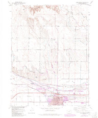
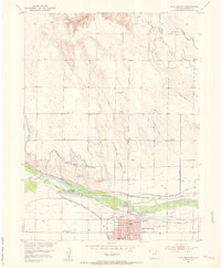
1971 Map of Fort Morgan
USGS Topo · Published 1984About this map
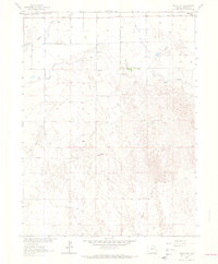
The South Platte River corridor dominates this Colorado landscape, shaping the development of Fort Morgan and its industrial and agricultural identity. A prominent Sugar Refinery on the city's western edge, along with the Union Pacific railroad lines, signals the historic importance of sugar beet processing in the region. The map documents the city's civic core, featuring several educational institutions like Lincoln Sch and High Sch, alongside the Riverside Cem and Rainbow Bridge spanning the river. North of the river, the irrigation infrastructure is extensive, with the Riverside Canal and various aqueducts supporting the surrounding plains. To the west, the residential pocket of Log Lane Village sits near the Boyd State Wildlife Area, reflecting the area's balance of industry, community, and conservation.
Find a feature on this map
39 named features on this map. Tap any name to fly to it.
Don’t see what you’re looking for? This feature index may not catch every label — zoom into the map to look around manually.
Map Details
Editions of this 1971 Fort Morgan Map
This is the sole edition of this map. No revisions or reprints were ever made.
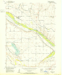
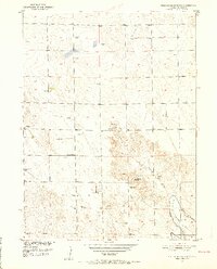
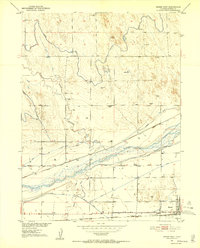
Other maps of this area
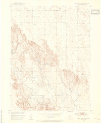
1951 · Weldona
USGS Topo · 1:24,000
1951 · Dead Horse Springs
USGS Topo · 1:24,000
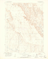
1951 · Brush West
USGS Topo · 1:24,000
1951 · Peace Valley School
USGS Topo · 1:24,000
1951 · Judson Hills
USGS Topo · 1:24,000
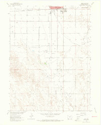
1951 · Fort Morgan
USGS Topo · 1:24,000

1954 · Sterling
USGS Topo · 1:250,000

1958 · Sterling
USGS Topo · 1:250,000
1963 · Lamb
USGS Topo · 1:24,000
1963 · Round Top
USGS Topo · 1:24,000