
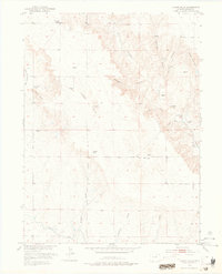
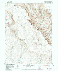
1951 Map of Judson Hills
USGS Topo · Published 1953About this map
The Sunnyside School (Abandoned) stands as a lonely landmark in this 1951 survey of the Colorado high plains, situated north of the Judson Hills. The landscape is defined by a complex network of drainage draws and canyons, including Wildcat Canyon, Scott Canyon, and Whipple Canyon, which carve through the terrain toward the south. Irrigation history is visible in the lower sections of the map, where the Riverside Canal cuts across the southwest corner and the Jackpot Ditch (Abandoned) suggests early attempts at water management in this arid region. Numerous windmills dot the section lines, indicating the importance of groundwater for the scattered ranching operations between Stony Point and Minter Hill. This document captures the agricultural infrastructure and topography of Morgan County before more modern development altered the rural school and irrigation patterns.
Find a feature on this map
22 named features on this map. Tap any name to fly to it.
Don’t see what you’re looking for? This feature index may not catch every label — zoom into the map to look around manually.
Map Details
Editions of this 1951 Judson Hills Map
3 editions found
Other maps of this area

1951 · Weldona
USGS Topo · 1:24,000

1951 · Orchard
USGS Topo · 1:24,000

1951 · Sunken Lake
USGS Topo · 1:24,000

1951 · Peace Valley School
USGS Topo · 1:24,000

1951 · Fort Morgan
USGS Topo · 1:24,000

1954 · Sterling
USGS Topo · 1:250,000

1954 · Greeley
USGS Topo · 1:250,000

1957 · Greeley
USGS Topo · 1:250,000

1958 · Greeley
USGS Topo · 1:250,000

1958 · Sterling
USGS Topo · 1:250,000