
1951 Map of Antelope Springs
USGS Topo · Published 1952About this map
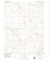
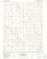
Antelope Springs sits at the center of this 1951 survey, a landscape defined by the intersection of natural drainage and early irrigation engineering in Morgan County. The terrain is marked by the winding course of Antelope Draw, while human intervention is visible through the Riverside Canal and North Sterling Canal which cut through the eastern sections. This era shows a transition in the rural community, as several local landmarks are noted as no longer in use.
Find a feature on this map
17 named features on this map. Tap any name to fly to it.
Don’t see what you’re looking for? This feature index may not catch every label — zoom into the map to look around manually.
Map Details
Editions of this 1951 Antelope Springs Map
3 editions found
Other maps of this area

1951 · Dead Horse Springs
USGS Topo · 1:24,000

1951 · Willard
USGS Topo · 1:24,000

1951 · Messex
USGS Topo · 1:24,000

1951 · Brush West
USGS Topo · 1:24,000

1951 · Merino SW
USGS Topo · 1:24,000

1951 · Brush East
USGS Topo · 1:24,000

1954 · Sterling
USGS Topo · 1:250,000

1958 · Sterling
USGS Topo · 1:250,000

1971 · Brush East
USGS Topo · 1:24,000

1971 · Messex
USGS Topo · 1:24,000