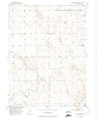
1951 Map of Antelope Springs
USGS Topo · Published 1975About this map
Antelope Springs and its surrounding high plains landscape define this section of Morgan County during the early 1950s. The settlement pattern is dominated by water management, with the Riverside Canal, North Sterling Canal, and Snyder Canal cutting through the terrain alongside an extensive network of levee structures and numerous windmills. This reliance on irrigation infrastructure highlights the transition from traditional ranching toward more intensive land use in this arid region.
Find a feature on this map
21 named features on this map. Tap any name to fly to it.
Don’t see what you’re looking for? This feature index may not catch every label — zoom into the map to look around manually.
Map Details
Editions of this 1951 Antelope Springs Map
3 editions found
Other maps of this area

1951 · Dead Horse Springs
USGS Topo · 1:24,000

1951 · Willard
USGS Topo · 1:24,000

1951 · Messex
USGS Topo · 1:24,000

1951 · Brush West
USGS Topo · 1:24,000

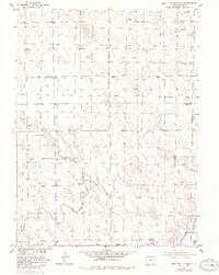
1951 · Antelope Springs
USGS Topo · 1:24,000

1951 · Merino SW
USGS Topo · 1:24,000

1951 · Brush East
USGS Topo · 1:24,000

1954 · Sterling
USGS Topo · 1:250,000

1958 · Sterling
USGS Topo · 1:250,000

1971 · Brush East
USGS Topo · 1:24,000