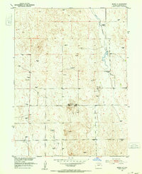
1951 Map of Merino SW
USGS Topo · Published 1952About this map
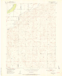
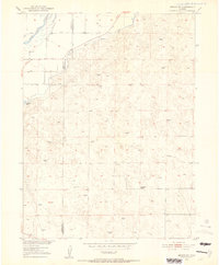
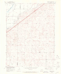
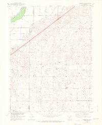
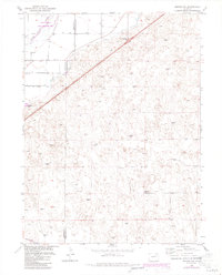
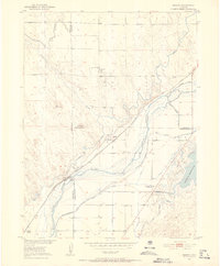
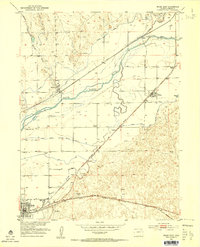
The South Platte River cuts through the northwest corner of this plains landscape, where irrigation infrastructure like the Lower Beaver DITCH supported agricultural development in Washington and Morgan counties. The terrain is characterized by rolling hills and scattered alkaline features, including Emerson Lake and the subtle rise of Hillrose. At the center of the rural community life depicted here is the Highland School, a vital landmark for families living in this wind-swept reach of northeastern Colorado. Numerous labels for Windmill dot the sections, underscoring the reliance on groundwater for ranching and homesteads in a region where surface water is scarce away from the river valley. This survey, part of the Missouri River Basin development program, provides a clear view of the mid-century intersection between natural river drainage and human-engineered water management.
Find a feature on this map
7 named features on this map. Tap any name to fly to it.
Don’t see what you’re looking for? This feature index may not catch every label — zoom into the map to look around manually.
Map Details
Editions of this 1951 Merino SW Map
5 editions found
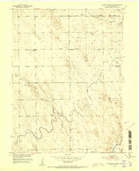
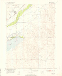
Other maps of this area
1951 · Messex
USGS Topo · 1:24,000
1951 · Antelope Springs
USGS Topo · 1:24,000
1951 · Brush East
USGS Topo · 1:24,000
1951 · Merino SE
USGS Topo · 1:24,000
1951 · Merino
USGS Topo · 1:24,000

1954 · Sterling
USGS Topo · 1:250,000

1958 · Sterling
USGS Topo · 1:250,000
1965 · Miller Ranch
USGS Topo · 1:24,000
1971 · Brush East
USGS Topo · 1:24,000

1971 · Messex
USGS Topo · 1:24,000