
1977 Map of Arickaree
USGS Topo · Published 1978About this map
Gordon Creek meanders through this portion of Washington County, defining the drainage patterns of an agricultural landscape in the late 1970s. The small settlement of Arickaree serves as a local focal point, supported by the Arickaree Sch located to the north near the section lines of Township 4 South. This survey captures a rural environment where infrastructure is minimal, marked primarily by isolated landmarks like a Radio Tower and localized sandpits. To the northeast, the map reaches the vicinity of Wiladel, while prominent elevations such as Payne Hill break the steady rise of the high plains. The grid-like arrangement of section roads reflects the orderly land division characteristic of Eastern Colorado, providing clear reference points for researchers tracking property boundaries and historical land use in this specific quadrangle.
Find a feature on this map
9 named features on this map. Tap any name to fly to it.
Don’t see what you’re looking for? This feature index may not catch every label — zoom into the map to look around manually.
Map Details
Editions of this 1977 Arickaree Map
This is the sole edition of this map. No revisions or reprints were ever made.
Other maps of this area

1954 · Limon
USGS Topo · 1:250,000

1957 · Limon
USGS Topo · 1:250,000

1958 · Limon
USGS Topo · 1:250,000

1977 · Thurman
USGS Topo · 1:24,000
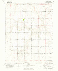
1977 · Elba SW
USGS Topo · 1:24,000

1977 · Elba SE
USGS Topo · 1:24,000

1977 · Anton SE
USGS Topo · 1:24,000

1977 · Cope SW
USGS Topo · 1:24,000
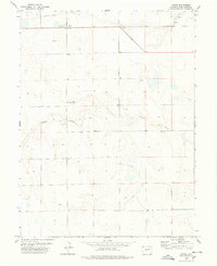
1978 · Anton
USGS Topo · 1:24,000
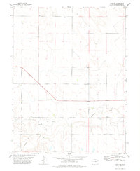
1978 · Cope NW
USGS Topo · 1:24,000