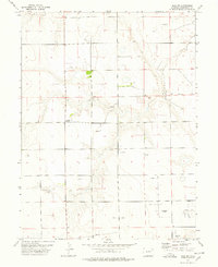
1977 Map of Elba SW
USGS Topo · Published 1978About this map
Anton Bethel Union Ch stands as a focal point for this rural landscape in eastern Colorado during the late 1970s. The terrain is characterized by a sprawling network of energy infrastructure, where numerous Oil Well and Oil Wells sites are connected by an underground Pipeline. This transition from traditional ranching to petroleum extraction is evidenced by the proximity of industrial features to agricultural markers like the Storage Bin and various livestock Well locations. The landscape maintains its systematic section-line grid, typical of the High Plains, providing a clear reference for the distribution of these resources across Washington County.
Find a feature on this map
7 named features on this map. Tap any name to fly to it.
Don’t see what you’re looking for? This feature index may not catch every label — zoom into the map to look around manually.
Map Details
Editions of this 1977 Elba SW Map
This is the sole edition of this map. No revisions or reprints were ever made.
Other maps of this area

1954 · Limon
USGS Topo · 1:250,000

1957 · Limon
USGS Topo · 1:250,000

1958 · Limon
USGS Topo · 1:250,000

1973 · Antelope Creek East
USGS Topo · 1:24,000

1973 · Lindon NE
USGS Topo · 1:24,000

1973 · Antelope Creek SE
USGS Topo · 1:24,000
1974 · Elba
USGS Topo · 1:24,000

1977 · Arickaree
USGS Topo · 1:24,000
1977 · Elba NE
USGS Topo · 1:24,000

1977 · Elba SE
USGS Topo · 1:24,000