
1973 Map of Antelope Creek SE
USGS Topo · Published 1976About this map
The High Plains of Washington County, Colorado, appear here as an expanse of rolling grasslands and drainage systems defined by the subtle topography of the prairie. In the early 1970s, this landscape was characterized by an agricultural and energy-based economy, where scattered infrastructure is visible among the section lines. Small clusters of Storage Bins are situated across the terrain, serving the dryland farming operations that occupy the flatter plateaus. The industrial footprint extends to the energy sector, marked by a singular Oil Well in the southern portion of the quadrangle. This map captures the transition between the open range and developed land, reflecting the sparse but purposeful settlement patterns of Eastern Colorado.
Find a feature on this map
5 named features on this map. Tap any name to fly to it.
Don’t see what you’re looking for? This feature index may not catch every label — zoom into the map to look around manually.
Map Details
Editions of this 1973 Antelope Creek SE Map
This is the sole edition of this map. No revisions or reprints were ever made.
Other maps of this area

1954 · Limon
USGS Topo · 1:250,000

1957 · Limon
USGS Topo · 1:250,000

1958 · Limon
USGS Topo · 1:250,000

1973 · Antelope Creek East
USGS Topo · 1:24,000

1973 · Antelope Creek West
USGS Topo · 1:24,000

1973 · Dry Gulch
USGS Topo · 1:24,000

1973 · Lindon NE
USGS Topo · 1:24,000

1973 · Lindon
USGS Topo · 1:24,000
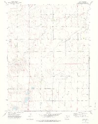
1974 · Elba
USGS Topo · 1:24,000
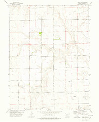
1977 · Elba SW
USGS Topo · 1:24,000