
1977 Map of Thurman
USGS Topo · Published 1978About this map
Thurman occupies a central position in this prairie landscape, where the High Plains of eastern Colorado are carved by the shifting drainage of the North Fork Arikaree River. Surveyed in the mid-1970s, the map reveals a sparsely settled agricultural region defined by section lines and isolated homesteads. The Thurman Cem stands as a primary genealogical landmark north of the main settlement area, while the presence of a Sandpit near the river fork indicates the local extractive activity common to these plains. The terrain is further marked by numerous wells, essential for sustaining life and livestock in this semi-arid environment. The complex meeting of three counties—Washington, Lincoln, and Kit Carson—is clearly delineated across the southern half of the sheet, reflecting the administrative geometry of the rural West.
Find a feature on this map
9 named features on this map. Tap any name to fly to it.
Don’t see what you’re looking for? This feature index may not catch every label — zoom into the map to look around manually.
Map Details
Editions of this 1977 Thurman Map
This is the sole edition of this map. No revisions or reprints were ever made.
Other maps of this area

1954 · Limon
USGS Topo · 1:250,000

1957 · Limon
USGS Topo · 1:250,000

1958 · Limon
USGS Topo · 1:250,000

1973 · Lindon NE
USGS Topo · 1:24,000

1973 · Shaw
USGS Topo · 1:24,000

1977 · Arickaree
USGS Topo · 1:24,000

1977 · Anton SE
USGS Topo · 1:24,000
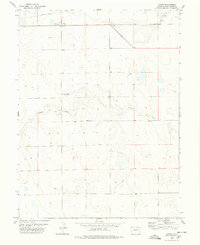
1978 · Anton
USGS Topo · 1:24,000

1979 · Flagler NW
USGS Topo · 1:24,000
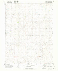
1979 · Arriba NE
USGS Topo · 1:24,000