
1977 Map of Cope SW
USGS Topo · Published 1978About this map
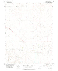
The Arikaree River winds through the northern portion of this high plains landscape, defining the topography in an otherwise subtle terrain of gradual rises and shallow draws. This 1970s survey captures the boundary between Washington and Kit Carson counties, illustrating the precise section-line road grid that governs the agricultural distribution of the region. A notable genealogical marker is found in the southwest, where a lone Grave is recorded on the prairie. The map identifies numerous groundwater points labeled simply as Well, including the Washkit site, which were vital for sustaining the livestock and farming operations that characterize this stretch of eastern Colorado. The sparse distribution of named features underscores the rural character of the land during this period of field-checked mapping.
Find a feature on this map
5 named features on this map. Tap any name to fly to it.
Don’t see what you’re looking for? This feature index may not catch every label — zoom into the map to look around manually.
Map Details
Editions of this 1977 Cope SW Map
This is the sole edition of this map. No revisions or reprints were ever made.
Other maps of this area

1954 · Limon
USGS Topo · 1:250,000

1957 · Limon
USGS Topo · 1:250,000

1958 · Limon
USGS Topo · 1:250,000

1977 · Cope
USGS Topo · 1:24,000

1977 · Cope SE
USGS Topo · 1:24,000

1977 · Arickaree
USGS Topo · 1:24,000

1977 · Anton SE
USGS Topo · 1:24,000
1978 · Cope NW
USGS Topo · 1:24,000

1979 · Seibert NE
USGS Topo · 1:24,000
1979 · Flagler NE
USGS Topo · 1:24,000