
1977 Map of Cope
USGS Topo · Published 1978About this map
Cope sits at the heart of this Eastern Colorado landscape, positioned where the high plains meet the winding valley of the Arikaree River. The 1970s survey captures a transition between dryland agriculture and emerging energy interests, marked by the presence of Oil Wells and numerous Gravel Pits scattered across the township boundaries of Washington Co and Yuma Co. The settlement pattern follows the river's path, with the Rodeo Ground serving as a prominent local landmark on the outskirts of the townsite. Dozens of Wells are documented throughout the quadrangle, highlighting the critical importance of groundwater management for the ranches and farms of this semi-arid region during the late twentieth century.
Find a feature on this map
9 named features on this map. Tap any name to fly to it.
Don’t see what you’re looking for? This feature index may not catch every label — zoom into the map to look around manually.
Map Details
Editions of this 1977 Cope Map
This is the sole edition of this map. No revisions or reprints were ever made.
Other maps of this area

1954 · Limon
USGS Topo · 1:250,000

1957 · Limon
USGS Topo · 1:250,000

1958 · Limon
USGS Topo · 1:250,000

1968 · Joes
USGS Topo · 1:24,000

1974 · De Nova SE
USGS Topo · 1:24,000
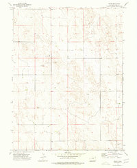
1974 · Abarr
USGS Topo · 1:24,000

1977 · Cope SE
USGS Topo · 1:24,000

1977 · Cope SW
USGS Topo · 1:24,000
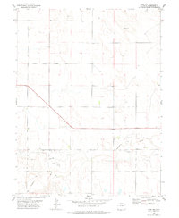
1978 · Cope NW
USGS Topo · 1:24,000
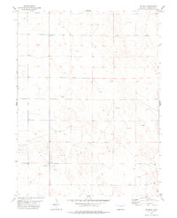
1978 · De Nova
USGS Topo · 1:24,000